Subject: Atlases
Period: 1823 (published)
Publication:
Color: Hand Color
Size:
6.5 x 9.5 inches
16.5 x 24.1 cm
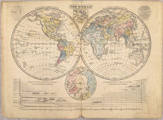
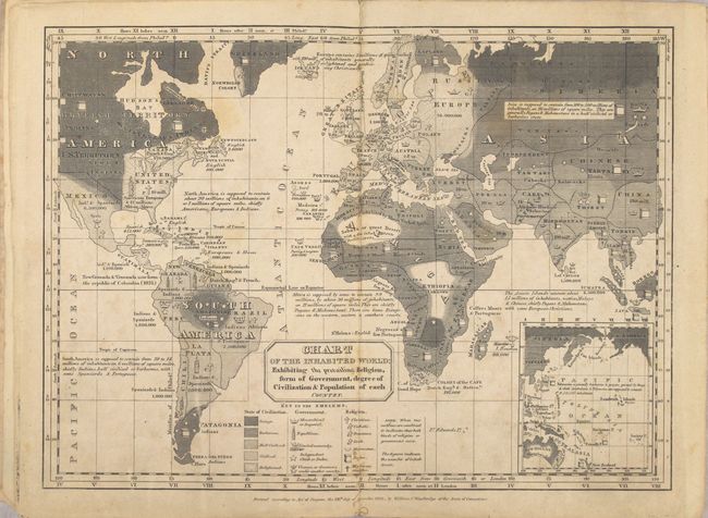
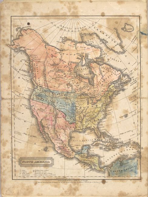
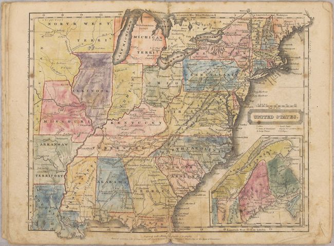
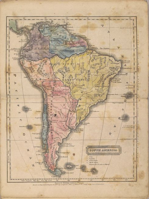
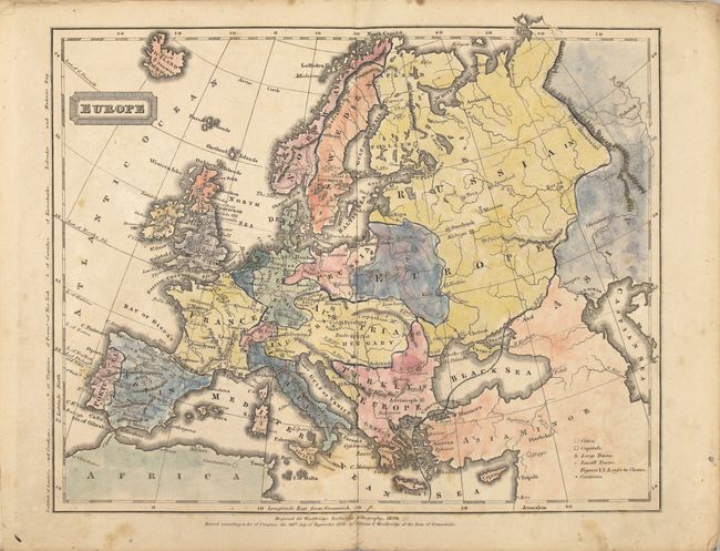
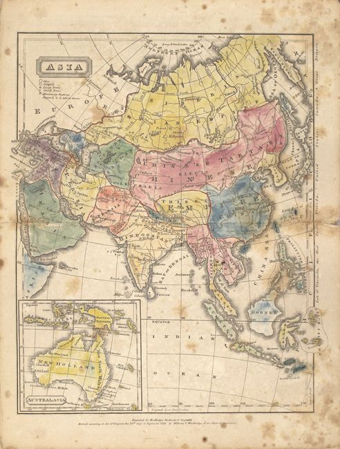
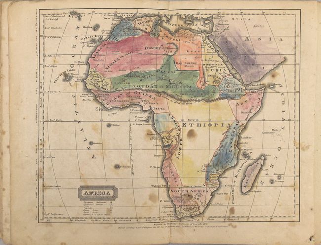
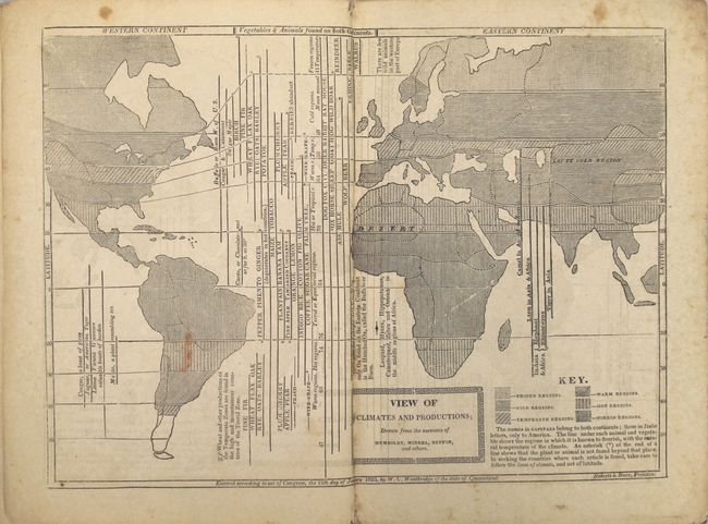
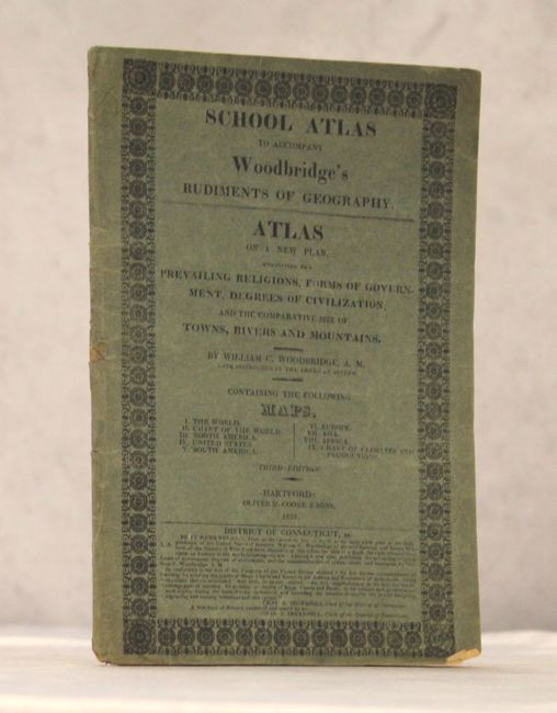
Complete, early school atlas containing the nine double-page hand colored maps called for on the title page. The atlas contains the following maps: double hemisphere world; thematic world map describing the prevailing religions, form of government, and degree of civilization; North America; United States; South America; Europe; Asia; Africa; and another thematic map showing the climate and production around the world. Both thematic world maps are drawn on Mercator's Projection. The map of North America shows a large United States Territory that stretches between the United States and the Pacific Ocean. Texas is named in Mexico, which occupies the entire Southwest and California. The maps are dated 1820 or 1821. Published by Oliver D. Cooke & Sons.
References:
Condition: B
Maps have overall light to moderate foxing. The map of North America is heavily foxed (C+) and the map of the United States has a 1" centerfold separation at bottom. Covers are in surprisingly very good condition with light wear.