Subject: Texas
Period: 1847-48 (published)
Publication:
Color: Black & White
Size:
5.6 x 9 inches
14.2 x 22.9 cm
The Office of Coast Survey is the oldest U.S. scientific organization, dating from 1807 when Congress directed that a "survey of the coast" be carried out. By 1836, it was called the U.S. Coast Survey and in 1878, the name was changed to the U.S. Coast and Geodetic Survey. Today the Office of Coast Survey is a division of the National Oceanic and Atmospheric Administration NOAA.
The survey teams, composed of civilians as well as Army and Naval officers, charted the nation's waterways and produced a wide array of reports, survey charts, hydrographic studies of tides and currents, astronomical studies and observations, and coastal pilots. These charts are an important record of the changing nature of the nation's coastlines. In additional to coastal charts, the U.S. Coast and Geodetic Survey produced land sketches, Civil War battle maps, and the early aeronautical charts.
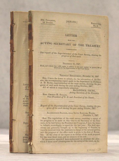
This lot includes the 1847 (Senate Ex. Doc. 6, 30th Congress, 1st Session) and the 1848 (HR Ex Doc No. 13, 30th Congress, 2nd Session) annual reports which include some of the earliest folding maps and plates produced by the U.S. Coast Survey.
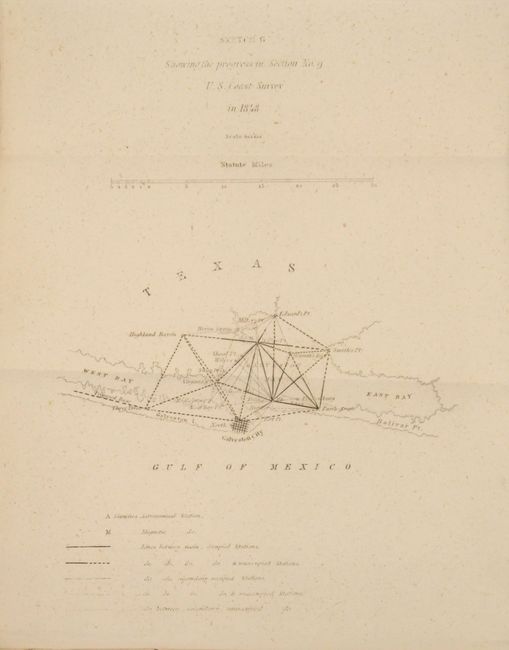
The 1848 report features the initial survey of the Texas coast beginning with Galveston Bay and includes the first published chart of the survey of the Texas coast "Sketch G Showing the progress in Section No. 9," centered on Galveston City and extending to include the West and East bays and north to Edward's Point. This initial surveying work began at Galveston Bay with triangulations laid out in every direction and key points determined from Galveston Bay to the mouth of the Brazos River.
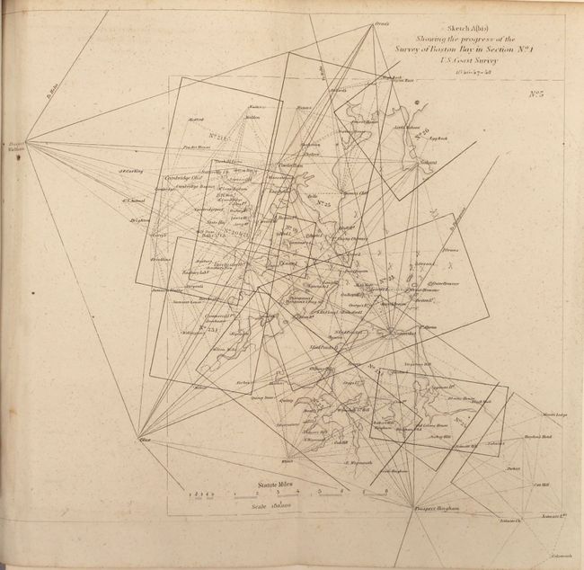
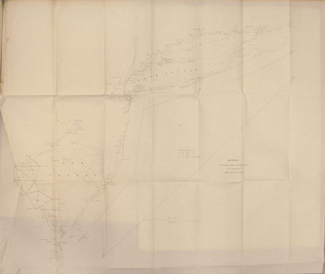
Both the 1847 and the 1848 reports feature maps of the northeastern coastline including Maine, Nantucket, Boston and Long Island, which was the first region to be surveyed. The 1847 report contains eleven charts and plates while the 1848 report contains sixteen, many of which are folding.
References: cf. Martin & Martin, p. 147.
Condition:
1847 report: light to moderate scattered foxing and a few misfolds (B). 1848 report: an unusually clean and bright example (A).