Subject: Manitoba, Canada
Period: 1910 (dated)
Publication:
Color: Printed Color
Size:
19.1 x 12.7 inches
48.5 x 32.3 cm
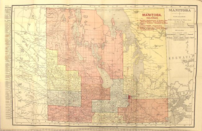
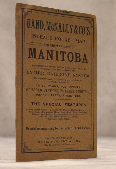
This detailed map of the province of Manitoba is further divided into its nine political districts including the very large Dauphin and Selkirk. Five different railroads are depicted and keyed to the map including the Canadian Northern, Canadian Pacific, and Midland of Manitoba. The map also shows the extent of surveying which had still not been completed in the far north and east. Filled with details of towns and cities, Indian Reservations, and a network of lakes. Folds into brown paper wrappers (4 x 6.5") with an index and advertisements.
References:
Condition: A+
Clean, crisp, mint condition. Issued folding.