Subject: California
Period: 1856-57 (circa)
Publication: Volume V - Part I and II
Color: Printed Color
Size:
9.3 x 6.5 inches
23.6 x 16.5 cm
During the 1850s, the U.S. government sponsored an extensive series of expeditions designed to gather information on the vast new territories that had been acquired in western North America. The discovery of gold in California further stimulated westward traffic and heightened the need for a faster and more convenient way to bring the far-flung parts of the country together. In 1853 Congress commissioned the Army's Topographic Bureau to conduct a series of surveys to find a suitable route for a transcontinental railroad. There were six major expeditions; five of them covered the area between the Great Plains and west coast, and the sixth explored the coastal states of California and Oregon. All of these expeditions were accompanied by naturalists and artists to document the landscape, flora and fauna along the route.
The reports, maps and lithographs were published in the 13 volume report "Explorations and Surveys to ascertain the most practicable and economical route for a Railroad from the Mississippi river to the Pacific Ocean."
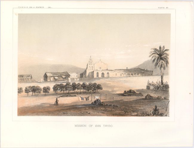
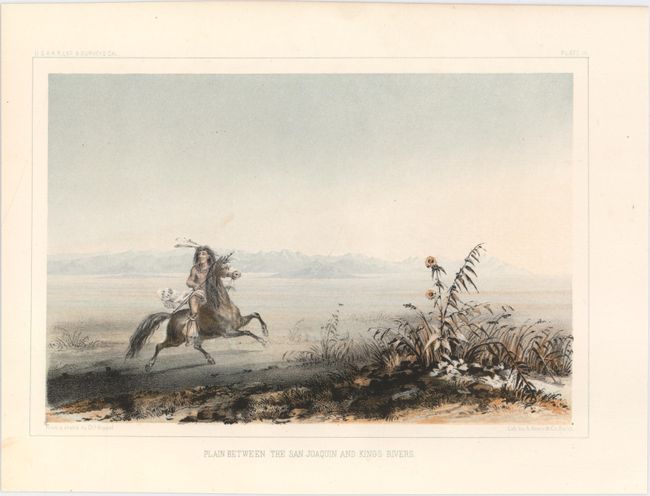
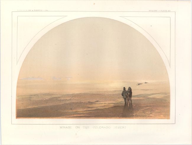
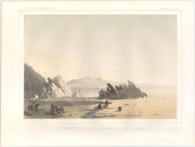
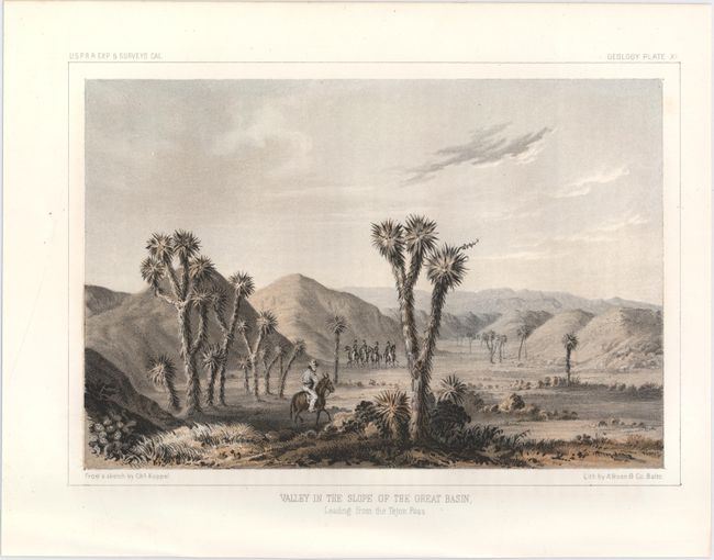
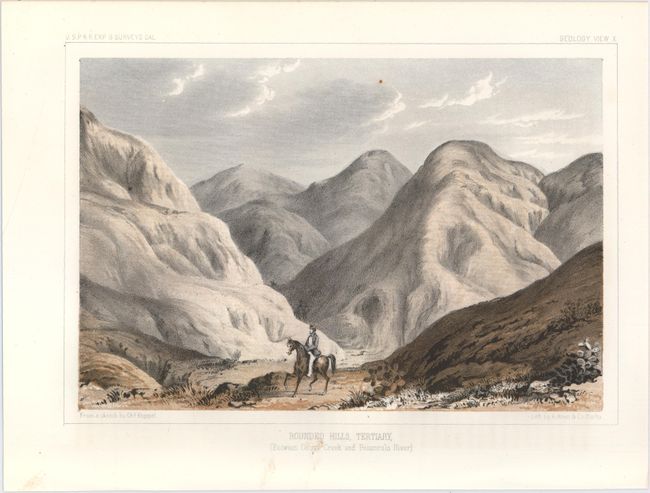
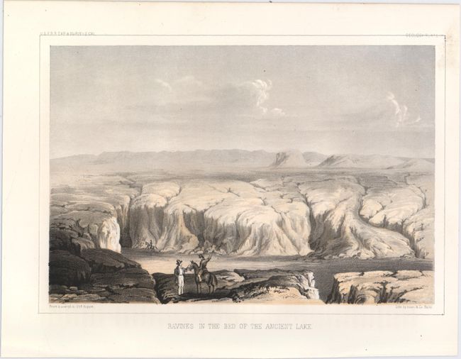
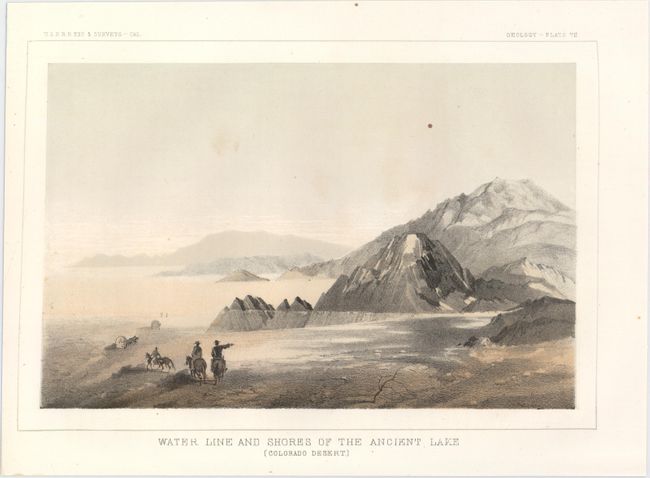
This very attractive lot consists of sixteen plates from Volume V concerning the explorations in California. Eight plates are based upon Charles Koppel's drawings including the desirable Mission of San Diego, which is one of the earliest printed views of the mission. The mission was the location of San Diego's first military post and it was occupied by the Army from 1847 to 1857. Other plates based upon Koppel include Plain Between the San Joaquin and Kings Rivers, The Great Basin From the Canada de las Uvas with Lost Mountains in the Distance, and Valley of Kah-Wee-Ya River (Four Creeks) to name a few. The full list of plates are:
A. Mission of San Diego.
B. Plain Between the San Joaquin and Kings Rivers.
C. Mirage on the Colorado Desert.
D. Metamorphic Rocks -- Borders of the Desert.
E. Valley in the Slope of the Great Basin, Leading from the Tejon Pass.
F. Rounded Hills, Tertiary, (Between Ocoya Creek and Posuncula River).
G. Ravines in the Bed of the Ancient Lake.
H. Water Line and Shores of the Ancient Lake (Colorado Desert).
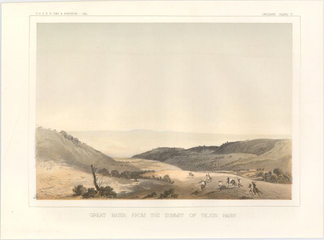
I. Great Basin from the Summit of Tejon Pass.
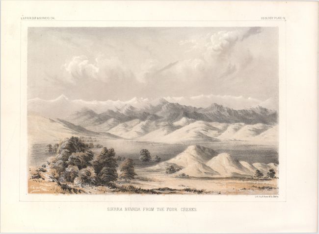
J. Sierra Nevada from the Four Creeks.
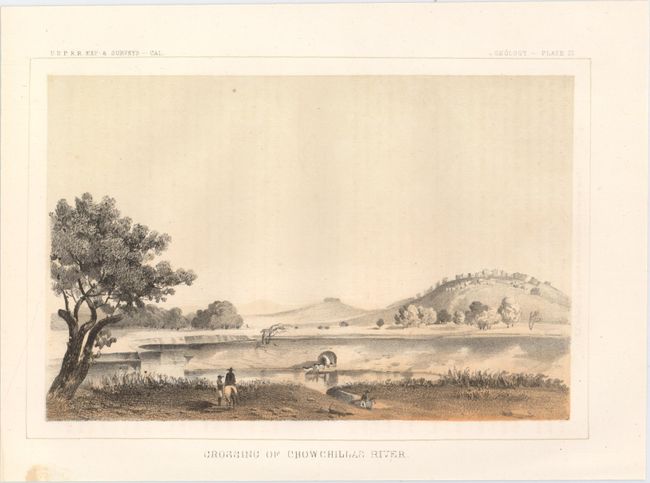
K. Crossing of Chowchillas River.
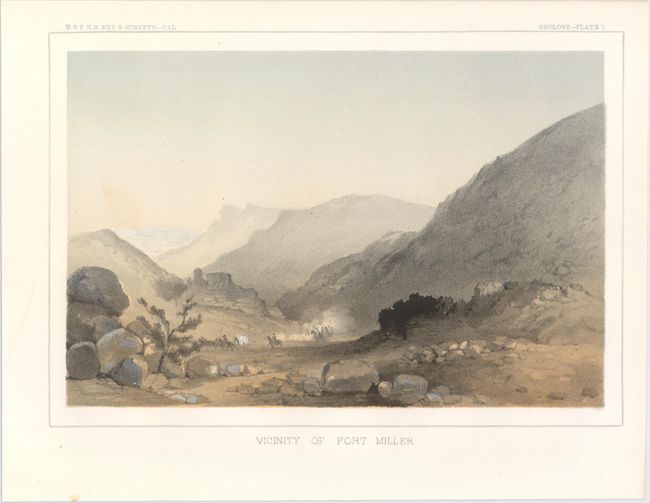
L. Vicinity of Fort Miller.
M. Colorado Desert and Signal Mountain.
N. The Great Basin from the Canada de las Uvas with Lost Mountains in the Distance.
O. Plain Between Kah-Wee-Ya and King's Rivers.
P. Valley of Kah-Wee-Ya River (Four Creeks).
References:
Condition: A
Clean and bright examples with an occasional spot of soiling in the blank margins.