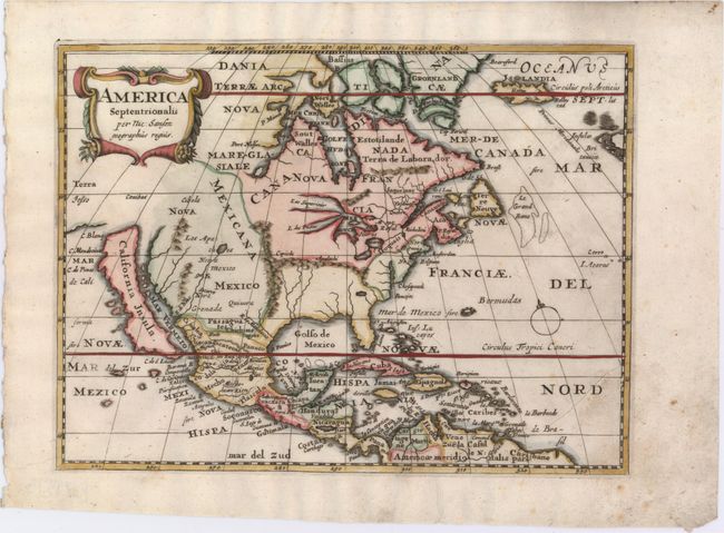
Subject: North America
Period: 1679 (published)
Publication: Die Gantze Erd-Kugel
Color: Hand Color
Size:
9.6 x 7.2 inches
24.4 x 18.3 cm
This is a charming little map of North America with California as an island embellished with a strapwork title cartouche. California is shown with an indented northern coastline in the Foxe form. The detached coastline to the northwest of California is named Terra Iesso, rather than reflecting Sanson's earlier belief that it was an extension of the American continent. The R. de Nort drains into the Gulf of California from a large interior lake in the country of Les Apaches. The two western-most Great Lakes are left open-ended and Lake Erie remains unnamed. This map was published in Johann David Zunners' very rare German translation of Sanson's L'Amerique en Plusieurs Cartes. The map was re-engraved for this edition, and there are a few notable differences from Sanson's map of 1657. Both the names Virginie and Floride are omitted here, and the entire eastern seaboard is now marked as non-French territory. Along the Gulf Coast the Bay and River of S. Esprit are also missing.
References: Burden #510; McLaughlin #90.
Condition: B+
A nice impression with attractive color and very light soiling.


