Catalog Archive
Auction 147, Lot 64

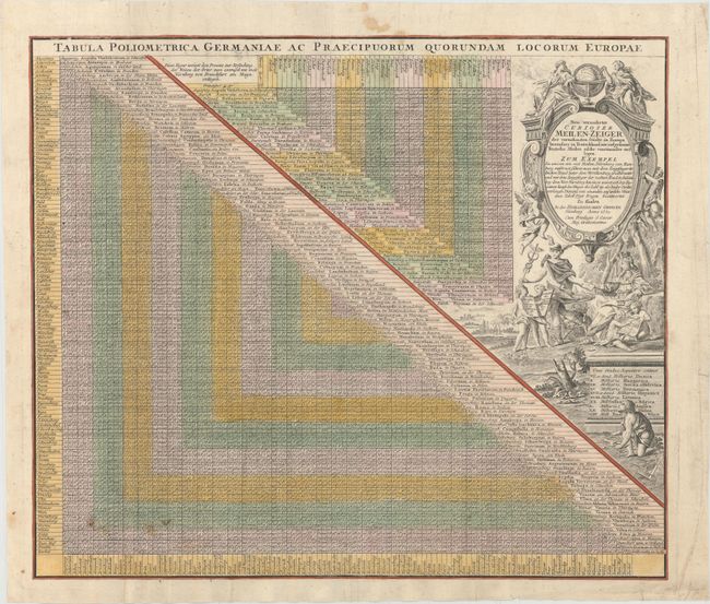
"Tabula Poliometrica Germaniae ac Praecipuorum Quorundam Locorum Europae / Neu Vermehrter Curioser Meilen-Zeiger der Vornehmsten Stadte in Europa Besonders in Teutschland…", Homann Heirs

Subject: Cartographic Miscellany

Period: 1731 (dated)

Publication:

Color: Hand Color

Size:
21.3 x 18.1 inches
54.1 x 46 cm
Download High Resolution Image
(or just click on image to launch the Zoom viewer)

This table lists the distances between major European cities, with a primary focus on cities in Germany. The title cartouche describes how to use the table, explaining how one must use their pointer-fingers to locate where a row and column meet. The explanation also claims that the table "answers 7798 questions" regarding distances between cities. The title cartouche is surrounded by allegorical figures, including Mercury, Athena, putti and cherubs.

References:

Condition: B+

Watermarked paper with original color that has been partially refreshed and a few small spots.

Estimate: $200 - $230

Sold for: $100

Closed on 11/20/2013

Archived