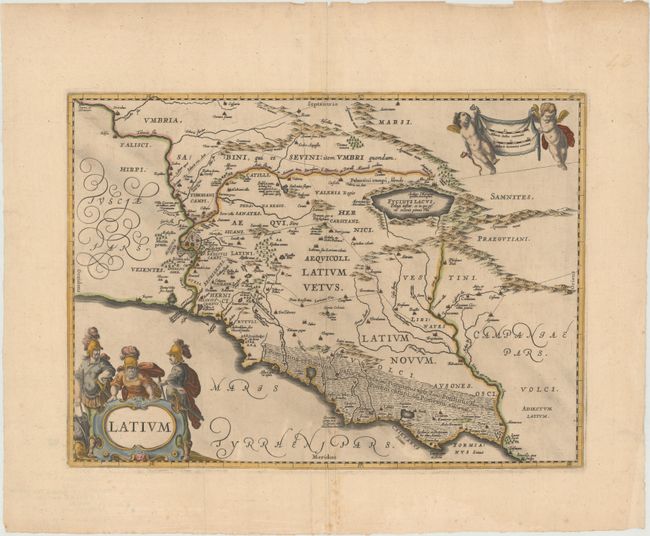
Subject: Central Italy
Period: 1652 (circa)
Publication:
Color: Hand Color
Size:
19.1 x 13.9 inches
48.5 x 35.3 cm
Lovely map of the Lazio province on Italy's central-west coast showing a bird's eye view of Rome with several Roman ruins visible, including the Colosseum. Towns, roads, mountains, rivers, and forested areas fill the countryside. Fucinus Lacus (Fucine Lake), which was drained in 1875, is prominently depicted at right. The map is handsomely adorned with elegant script lettering, a distance scale held aloft by putti, and a strapwork title cartouche featuring Roman soldiers.
References: Van der Krogt (Vol. I) #7320H:1.
Condition: B+
Wide original margins with a printer's crease adjacent to centerfold at bottom and a few small spots of foxing.


