Catalog Archive
Auction 147, Lot 448
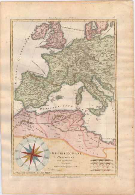
"Imperii Romani, Distracta. Pars Occidentalis...", Bonne, Rigobert

Subject: Western Europe
Period: 1787 (circa)
Publication: Atlas Encyclopedique
Color: Hand Color
Size:
9.3 x 13.7 inches
23.6 x 34.8 cm
Download High Resolution Image
(or just click on image to launch the Zoom viewer)
(or just click on image to launch the Zoom viewer)

