Catalog Archive
Auction 146, Lot 417

"A New Map of the Rivers & Sea Coasts of England", Moll, Herman

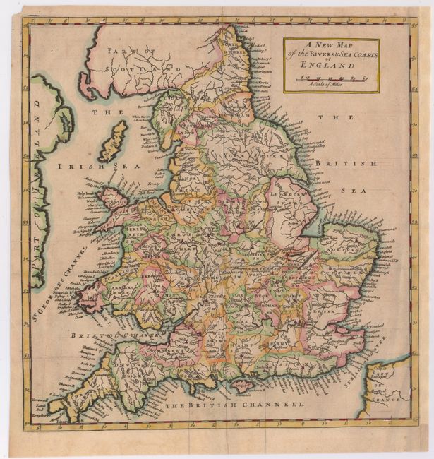
Subject: England & Wales

Period: 1720 (circa)

Publication: Magna Britannia...

Color: Hand Color

Size:
11.3 x 11.8 inches
28.7 x 30 cm
Download High Resolution Image
(or just click on image to launch the Zoom viewer)

This map of England and Wales specifically focuses on the rivers, ports, and harbors of the nation. Counties and major towns are identified inland, and parts of Scotland, Ireland, and France appear around the edges of the map.

References: Shirley (BL Atlases) T.MORD-4d.

Condition: B

Issued folding with short creases and a small hole at a fold intersection that has been closed on verso with old paper. There is a fold separation that enter a half-inch into image at top that has also been closed on verso with old paper. Remargined at right.

Estimate: $100 - $130

Sold for: $50

Closed on 9/4/2013

Archived