Subject: Atlases, Railroads
Period: 1885 (published)
Publication:
Color: Printed Color
Size:
12.5 x 17.8 inches
31.8 x 45.2 cm
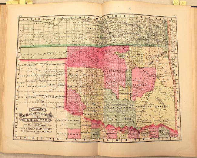
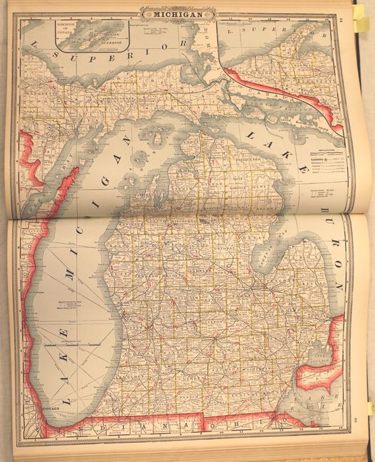
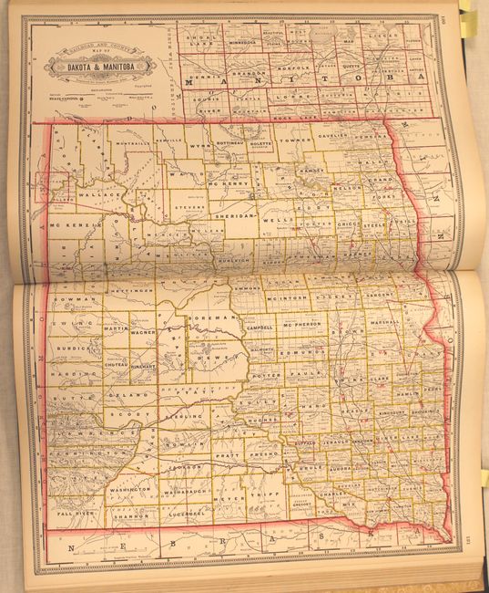
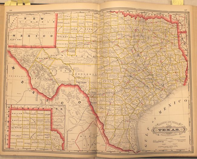
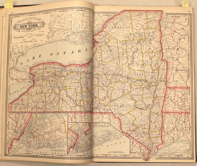
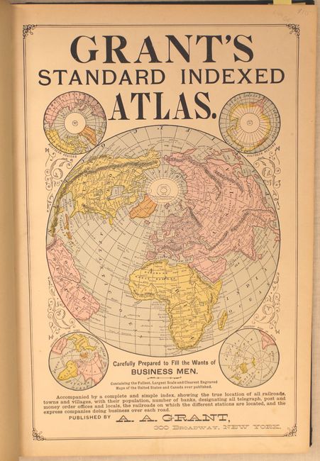
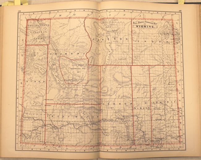
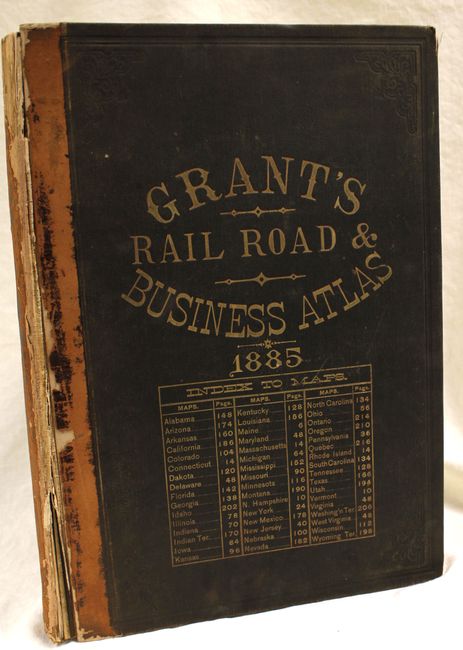
This rare railroad atlas by A.A. Grant was "carefully prepared to fill the wants of business men." It contains a total of 50 maps, consisting of 44 double-page maps, 5 single page maps and 1 large black & white folding map entitled Cram’s New Pictorial and Railroad Map of the United States and Territories attached to the back cover. The map shows the extensive railroad network across the country, with place names identified along the routes. We have found no sale records for this map or the atlas over the last 30 years. All of the double and single page maps are in printed color with the exception of Cram’s Railroad and Township Map of Indian Ter. which is in full hand color. 237 pp. plus an unpaginated supplement. Folio, hardbound in quarter leather over brown cloth boards with gilt embossing on front cover. Front cover reads "Grant's Rail Road & Business Atlas."
References:
Condition: A
Condition code is for the maps, which are clean and bright and in very good to fine condition. Covers are worn and bumped with the front cover almost detached, and the spine is nearly perished.