Catalog Archive
Auction 143, Lot 767
"Egypt", Cary, John
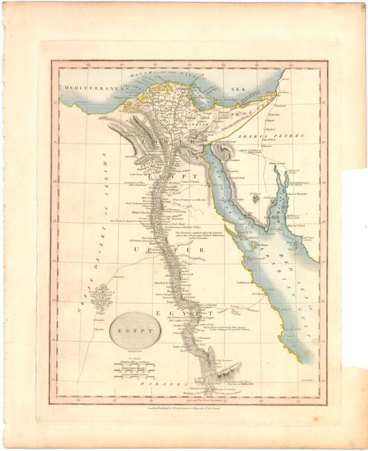
Subject: Egypt
Period: 1815 (circa)
Publication:
Color: Hand Color
Size:
9 x 11.2 inches
22.9 x 28.4 cm
Download High Resolution Image
(or just click on image to launch the Zoom viewer)
(or just click on image to launch the Zoom viewer)