Catalog Archive
Auction 143, Lot 318

"Iucatana Regio et Fondura", Wytfliet, Cornelis

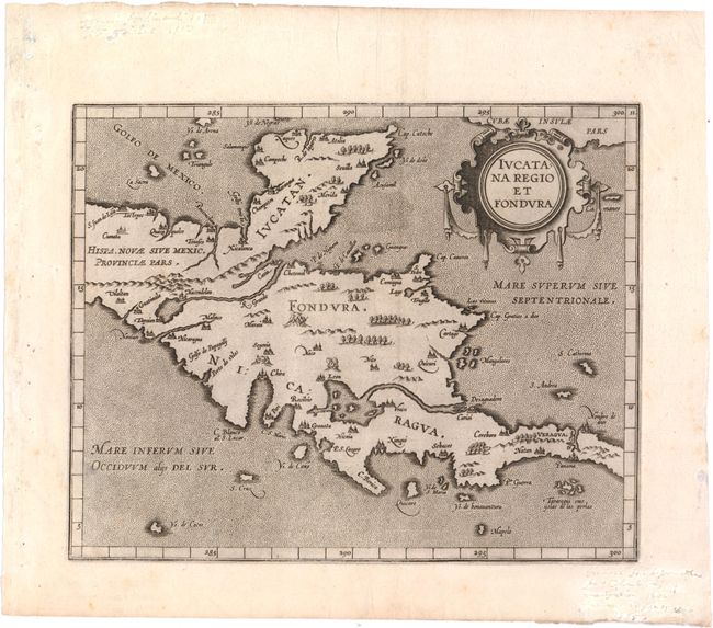
Subject: Mexico & Central America

Period: 1607 (circa)

Publication: Descriptionis Ptolemaicae Augmentum

Color: Black & White

Size:
11.1 x 8.9 inches
28.2 x 22.6 cm
Download High Resolution Image
(or just click on image to launch the Zoom viewer)

This fascinating map is from the first printed atlas relating exclusively to America. The map covers the Yucatan peninsula and Central America. Several over-sized rivers and lakes are prominently shown. A spurious R. Grande flows from a large lake in present-day Guatemala. Lake Nicaragua and the San Juan River are the dominant features in Central America. Another wide river nearly bisects the isthmus near Panama City. The map is adorned with a decorative strapwork title cartouche.

References:

Condition: B+

A dark impression on watermarked paper with light soiling and manuscript writing in blank margins that has been partially covered.

Estimate: $700 - $800

Unsold

Closed on 2/13/2013

Archived