Catalog Archive
Auction 141, Lot 410

"Accuratissima Angliae Regni et Walliae Principatus Descriptio Distincte Divisa in Omnes Suas Provincias", Wit, Frederick de

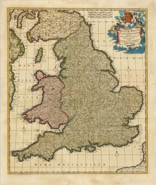
Subject: England & Wales

Period: 1689 (circa)

Publication:

Color: Hand Color

Size:
19.2 x 22.7 inches
48.8 x 57.7 cm
Download High Resolution Image
(or just click on image to launch the Zoom viewer)

This is a superb, classical Dutch map of England and Wales showing immense detail of the cities and towns. Hadrian's Wall crosses from Solway Firth to Newcastle near the border with Scotland. The map is adorned fine title cartouche suspended within a cloud background encircled with putti and the royal coat of arms of England. This is the fifth state, with a different title from the first four states (Anglia Regnum in Omnes Suos Ducatus, Comitatus, et Provincias Divisum).

References: Shirley (BI to 1750), De Wit 5.

Condition: B

Superb original color with minor soiling. Backed in tissue to repair a number of cracks caused by the oxidation of the green pigment.

Estimate: $275 - $350

Sold for: $180

Closed on 9/5/2012

Archived