Subject: Exploration and Surveys in California
Period: 1856 (dated)
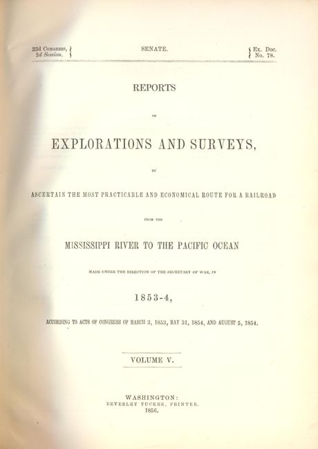
Publication: Senate Ex. Doc. No. 78, 33rd Cong., 2nd Session
Color:
Size:
9.5 x 12 inches
24.1 x 30.5 cm
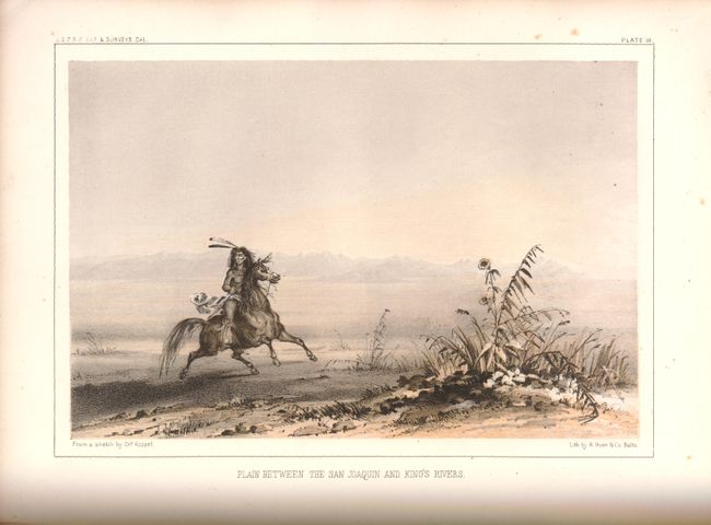
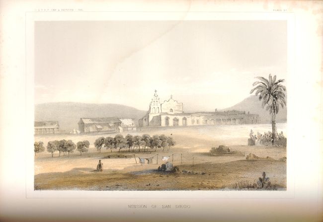
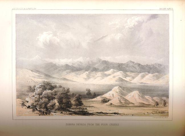
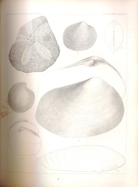
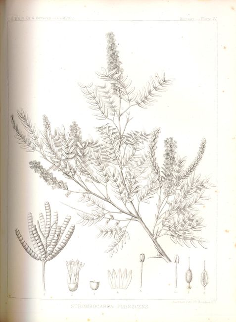
This is Volume V of the Railroad surveys which describes Lieutenant R.S. Williamson's explorations along the 32nd and 35th parallels. The report is followed by sections on the geology, botany and zoology encountered. The complete volume contains a superb collection of tinted lithographs including the important first view of Los Angeles, the Mission of San Fernando, San Diego, two plates showing the Great Basin, Fort Benicia, and the Mammoth Tree or Sequoia. There are approximately 27 tinted plates and numerous uncolored plates showing fossils and plants found along the route of exploration. Within the text are scores of wood engravings. Complete thick quarto, hardbound, 370pp +14pp, plates and maps.
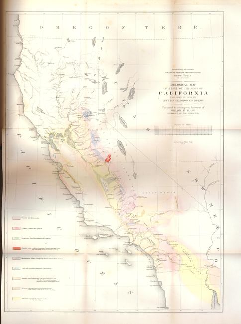
Complete with the large and colorful folding map: Geological Map of a Part of the State of California Explored in 1853 by Lieut. R.S. Williamson U.S. Top. Engr. (16" x 22"). This map covers the entire state of California and is hand colored to reflect geological knowledge per the legend at the left. The legend identifies nine geological types. There are interesting details throughout, with more information along the American River. It shows a huge Mono Lake, but Lake Tahoe is not shown; rather in its place is a small lake named Lake Bonpland. In Southern California, Los Angeles, San Gabriel, San Pedro, and more are located. Interestingly, the water between San Pedro (Long Beach) and San Diego is called Earthquake Bay.
References:
Condition: A
Expertly rebound, quarter imitation leather with marbled paper boards, new paste-downs and end papers. Old library stamp on title page near bottom. Pages and plates are generally very good; a few with even toning and the occasional foxing spot. The large folding map has a short binding tear closed on verso. Bright color and nice impression.