Subject: Atlases
Period: 1855-56 (published)
Publication:
Color: Hand Color
Size:
16.8 x 19.2 inches
42.7 x 48.8 cm
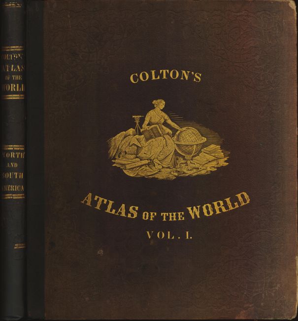
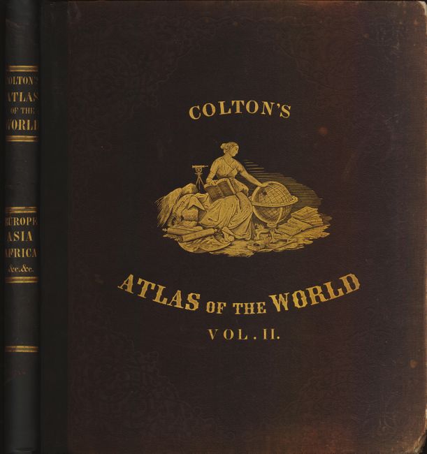
This complete, matching two volume folio atlas contains two engraved frontispieces and 103 maps, each with Colton's decorative strapwork border. First edition with brown cloth binding and quarter leather with gilt banding and title on spine. Both volumes with frontispiece, title pages, list of maps, text and tables.
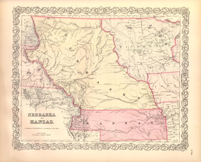
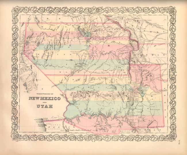
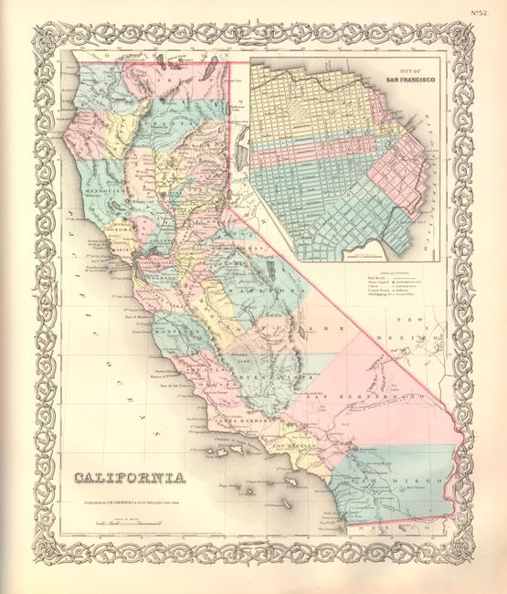
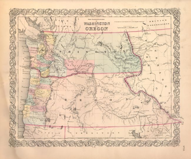
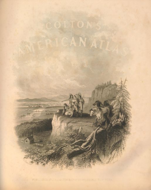
Volume I contains maps concentrating on the Western Hemisphere. 44 sheets relate to the United States, displaying 63 maps, with numerous sought after single-page state maps - many with city insets. There are several great early western maps including: the U.S. map featuring Kanzas; the map of Texas with early county configurations; the early map of Minnesota showing its border on the Missouri River. Also present is the most desirable Nebraska and Kanzas map that depicts Nebraska stretching from Kansas to the Canadian border and bounded on the west by Washington and Oregon at the Continental Divide and Minnesota on the east. Also included is the map of the territories of New Mexico and Utah, the California map with the large inset of San Francisco, and the territories of Washington and Oregon with their eastern boundaries on the Continental Divide and county development limited to the coastal areas. City plans included in Volume I are Montreal, Boston, New York (double-page), Philadelphia, Baltimore, Washington, Richmond, Norfolk/Portsmouth, Savannah/ Charleston, Louisville/New Orleans, Pittsburgh/Cincinnati, St. Louis/Chicago, Panama, Havana, Lima, Rio Janeiro, Pernambuco. This edition has the frontispiece showing Native American Indians overlooking a valley.
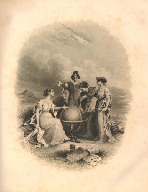
Volume II continues with 41 maps of Europe, the Middle East, Africa, Asia and Oceania. City plans in Volume II include London and Paris (both black and white), Amsterdam, Brussels, Hamburg, Bremen, Vienna, and Hong-Kong. Opposite the title page the frontispiece shows four women studying a large globe turned to the Eastern Hemisphere. Also with the double-page comparative chart illustrating the heights of mountains and lengths of rivers.
References:
Condition: B+
Volume I: Free end paper, frontis and title page with a little foxing or toning. The Frontis has a long closed tear that just touches the image, the title page has a long tear closed with cello tape and is trimmed at the bottom. Despite these early flaws the maps are virtually all fine or very good, with just a few having short marginal tears. The map of the United States has a few edge tears with tissue repairs on verso and tissue at lower margin to support centerfold. The Texas map has a 3" clean tear into the map closed on verso. Volume II: First end paper with tissue at edges and new tissue guard over frontis. The maps are similar to Vol. I, generally varying very good to fine. Germany No. 2 has a small smudge at lower left, On both volumes the covers are rubbed and sunned with corners bumped and frayed.