Subject: England
Period: 1842 (dated)
Publication:
Color: Hand Color
Size:
34 x 37.5 inches
86.4 x 95.3 cm
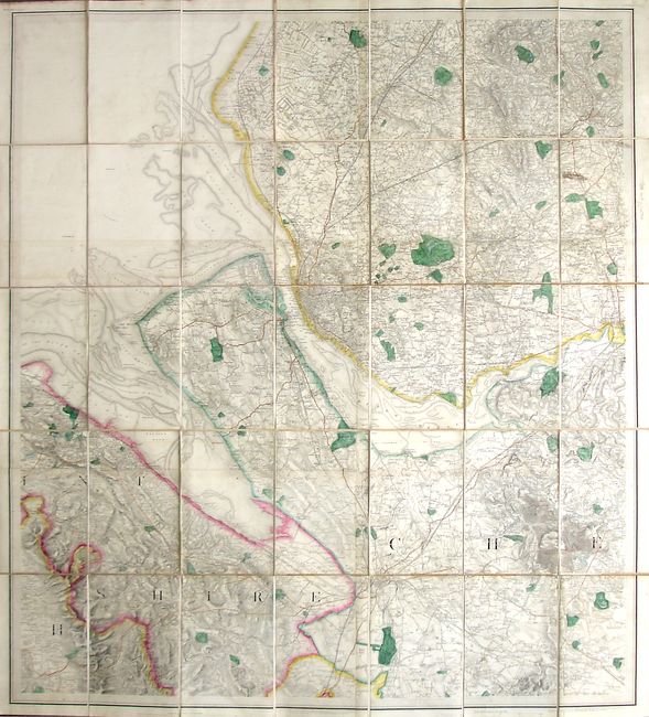
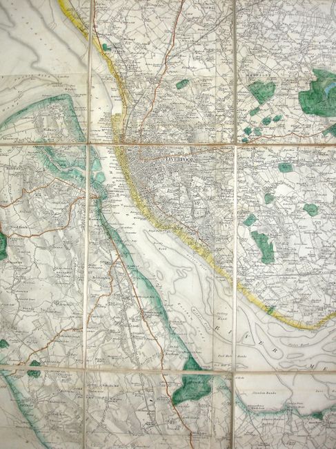
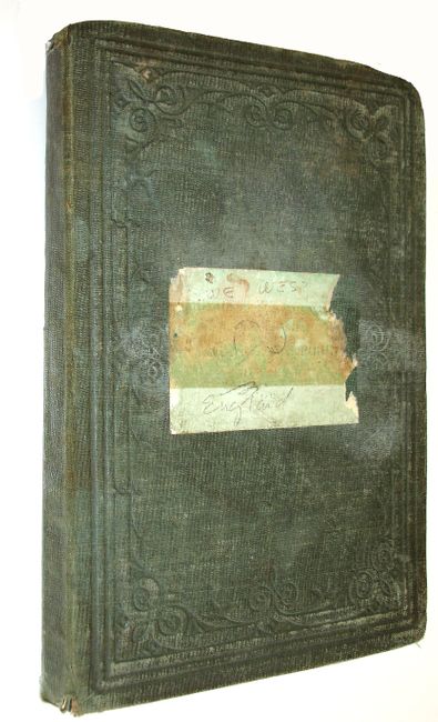
This map, covering western England and encompassing Liverpool, Chester and the surrounding countryside, was produced by The Ordnance Map Office in the Tower of London, and is the second printing from 1842. The map is dissected, mounted on linen and has lovely original outline coloring. This large and very detailed map contains numerous place names, rivers, canals and railways. It also shows buoys, lightships and the location of an unnamed shipwreck. The topography of the underwater areas, including the names of the banks along the coastline are also shown. This map folds into its original hard covers (5" x 8") that are covered in embossed green cloth.
References:
Condition: A
The map has some light toning and minor soil. Covers are moderately worn with some tears at the extremities. Pastedown label on front cover is faded and mostly missing.