Subject: Massachusetts
Period: 1896 (dated)
Publication:
Color: Printed Color
Size:
27 x 17.5 inches
68.6 x 44.5 cm
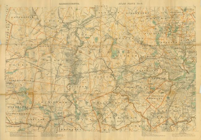
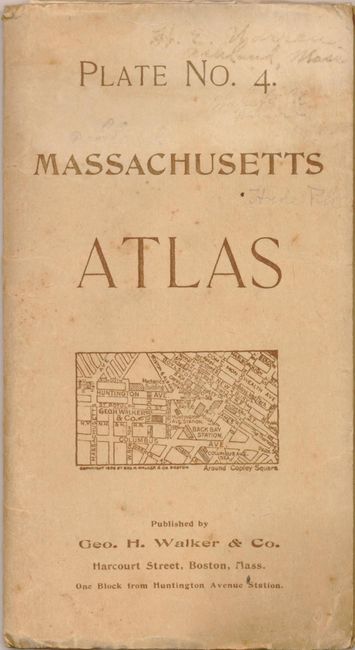
Plate No. 4. Massachusetts Atlas is an uncommon pocket map detailing the region from Boston westward to Marlboro. It includes parts of the counties of Norfolk, Suffolk, Middlesex and Worcester. Locates Hyde Park, Arlington Heights, Weston, Lexington, Wellesley Hills, South Farmingham, and many more. Extensive legend notes boundaries, schools, churches, railroad stations, roads and the 'best' roads are differentiated, post offices, and 100 feet contour lines. Also shows railroad and road crossings with different symbols to indicate crossing on grade, as well as roads crossing above and below the line. The map folds into paper covers that include a list of maps and pocket maps available from the Walker company. A list of more than 120 maps begins on the inside front cover and continues to the back cover. The list includes city plans, pocket railroad maps, bird's-eye views and road maps. This map is shown with a price of $0.25. The map is mostly clean and bright but has some fold splits and intersection splits including one near Sudbury with small loss. Most folds supported on verso with archival tape. Cover is a little soiled or stained.
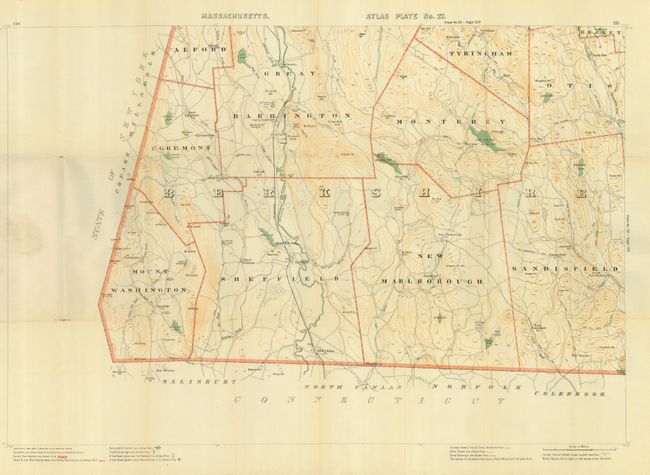
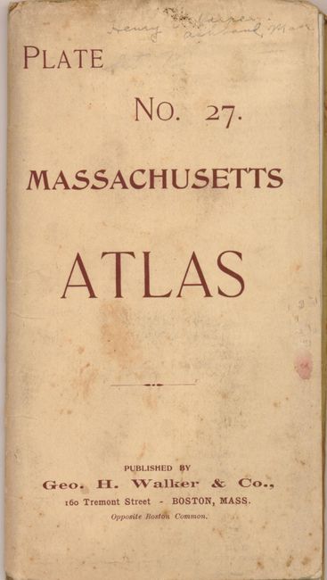
Plate No. 27. Massachusetts Atlas is a seldom seen pocket map detailing the townships of Mount Washington, Egremont, Alford, Great Barrington, Sheffiled, Tyringham, Monterey, New Marlborough, Otis and Sandisfield. Extensive legend at bottom notes boundaries, schools, churches, railroad stations, roads and the 'best' roads are differentiated, post offices, and 100 feet contour lines. It locates Berkshire Heights, Belcher's Cave, Prospect Hill, the Free Quarter, Negro Hill, and more. Railroad and road crossings are shown with different symbols to indicate crossing on grade, as well as roads crossing above and below the line. Map folds into paper covers that includes a list of maps and pocket maps available. A list of more than 120 maps begins on the inside front cover and econtinues to the back cover . The list includes city plans, pocket railroad maps, bird's-eye views, and road maps. This map is shown with a price of $0.25. Bright and lovely example that has some fold intersection splits. The cover is a little soiled, more at upper margin.
References:
Condition: B