Subject: World
Period: 1550 (circa)
Publication:
Color: Hand Color
Size:
15 x 10.4 inches
38.1 x 26.4 cm
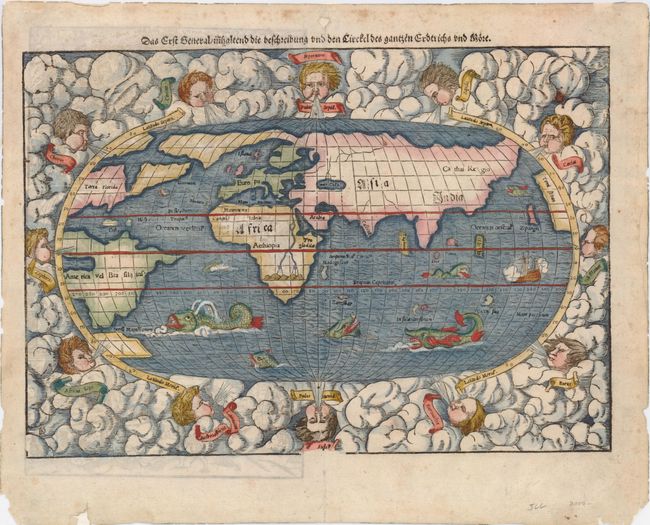
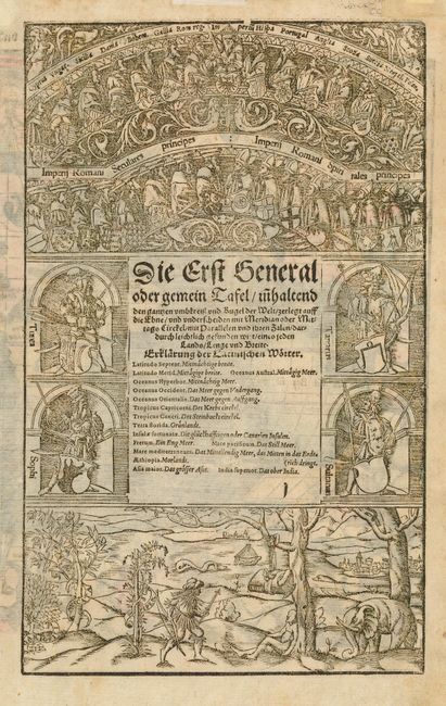
This is the second state of this famous early, woodblock map of the "modern" world. The oval projection is surrounded by clouds and wind heads with the title above the map. The continents are shown in rough outline only. North America is shown with the large cleft nearly separating the east coast from the continent, often referred to as the Sea of Verazano. What appears to be a large Northwest Passage stretches towards Asia. South America has a very strange shape as well. In Africa, the Nile is prominently shown with its twin sources beginning in a range of southern mountains. The mythical islands of Grisonum and Calensuan are placed in the proximity of Australia, where there is also the label Mare Pacificum. A sailing ship and several fierce sea monsters occupy the oceans. Initials of the engraver David Kandel in lower left-hand corner. German text and elaborate woodcut illustrations on verso.
References: Shirley #92.
Condition: A
Nice impression and later color. Some minor repairs and show-through of text on verso in the blank margins.