Subject: England & Wales
Period: 1646 (circa)
Publication:
Color: Hand Color
Size:
19.5 x 15 inches
49.5 x 38.1 cm
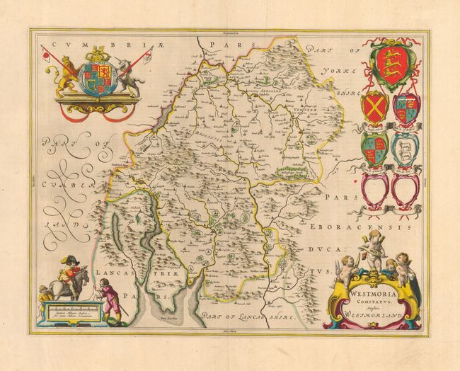
Attractive map of Westmoreland based on John Speed's prior map. The map is filled with place names and much topographical detail, including scores of tiny, fenced compounds shown across the map with names like Brigster Park, Colnhead Park, Crosbye, and Midleton. Windermere is called Wynandermere, near the Wynander Mere flud (now called Windermere Lake). The map is highly adorned with a royal coat of arms, a scale of miles surrounded by surveyors, a title cartouche topped with putti and six coats of arms, with two being left blank. French text on verso.
References:
Condition: A
Superb impression and later color.