Subject: Arabia
Period: 1782 (dated)
Publication:
Color: Black & White
Size:
21 x 11.2 inches
53.3 x 28.4 cm
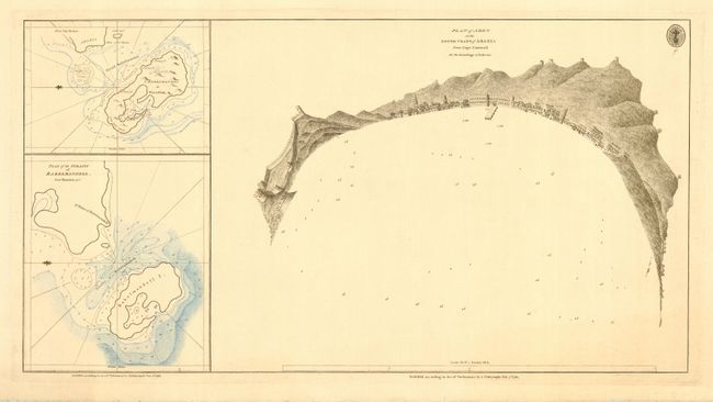
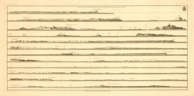
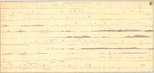
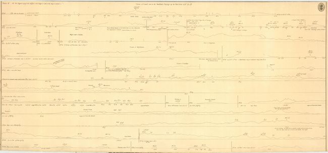
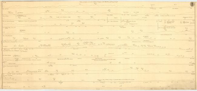
First is a most unusual plan depicting the harbor and town in a semicircular arc with perspective changes. Good detail of Aden including the fort at left and dock in center. Watch towers dot the hills behind Aden. Numerous soundings are shown in the harbor. With two large insets detailing the Strait Babelmandel with Babelmandel Island. Together with coastal charts: "Views of the Land from Dofar to Shoal Cliff on the Coast of Arabia...", dated 1783, size 24 x 11.2"; "Views of Land seen in the Swallows Voyage up the Red Sea in 1776, Plate I", date is trimmed off at bottom, size 28 x 13", with some color; "Views of Land seen in the Swallow's Voyage up the Red-Sea 1776, Plate II", top and bottom are trimmed to neatline, size 28 x 13"; and "Views of Land seen in the Swallows Voyage up the Red Sea 1776 & 1777, Plate III", trimmed very close top and bottom, size 28 x 13". All with the seal of the Hydrographical Office.
References:
Condition: A
The insets on the Plan of Aden with blue hand coloring that looks like colored pencil: well done. Third coastal view has a small tear with old repair on bottom of map.


