Catalog Archive
Auction 111, Lot 495

"Poland as Divided", Thomson, John
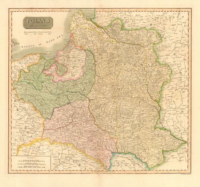
Subject: Poland

Period: 1816 (circa)

Publication: A New General Atlas

Color: Hand Color

Size:
19 x 17 inches
48.3 x 43.2 cm
Download High Resolution Image
(or just click on image to launch the Zoom viewer)

This map illustrates Poland during the Napoleonic Wars with Poland divided among its powerful neighbors - Russia (yellow), Prussia (green), Austria (red) and Saxony (blue). After Napoleon won his campaign against the Austrians in 1809, a portion of the previous Austrian partition was incorporated into the Grand Duchy of Warsaw (Saxony). This attempt to revive the Polish state, however, was ultimately doomed with the defeat of Bonaparte.

References:

Condition: A

Original color. Repaired fold separations in blank margins.

Estimate: $170 - $220

Sold for: $130

Closed on 6/8/2005

Archived