Catalog Archive
Auction 111, Lot 433

"S. Imperium Romano-Germanicum oder Teutschland mit Seinen Angratzenden Konigreichen un Provincien…", Schenk, Pieter

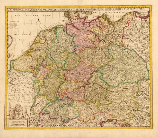
Subject: Central Europe

Period: 1700 (circa)

Publication:

Color: Hand Color

Size:
21.6 x 18.1 inches
54.9 x 46 cm
Download High Resolution Image
(or just click on image to launch the Zoom viewer)

Handsome and very detailed map of Central Europe depicting the Holy Roman Empire of the German Nation. At the height of the empire it contained most of the territory of today's Germany, Austria, Switzerland, Liechtenstein, Belgium, the Netherlands, Luxembourg, Czech Republic, Slovenia, as well as eastern France, northern Italy and western Poland. Two cherubs flank the coat of arms surmounting the distance scale at lower left.

References:

Condition: A

Professional repair on bottom centerfold. Attractive original color. Slightly uneven impression.

Estimate: $170 - $220

Sold for: $120

Closed on 6/8/2005

Archived