Subject: Europe
Period: 1803 (circa)
Publication:
Color: Hand Color
Size:
17 x 18 inches
43.2 x 45.7 cm
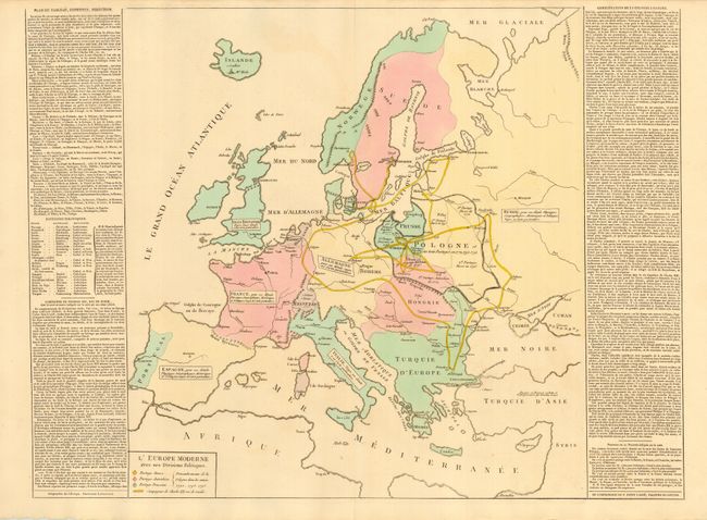
An interesting and boldly engraved copper plate map depicting geography and political divisions throughout Europe. It is surrounded by French text describing the region's history. The extensive campaigns of Charles XII are shown winding through Europe in the early part of the 18th century. Hand coloring identifies the regions of Spain, France, Britain, Allemagne, Prussia, Norway, Sweden, Denmark, Italy, Poland, Hungary, and Turkey. Size given includes text panels. An uncommon map.
References:
Condition: A
Dark impression with fine original full wash coloring. There is a trace of offsetting, else fine.


