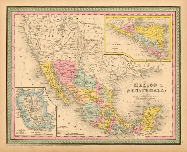
Subject: Southwestern United States & Mexico
Period: 1850 (dated)
Publication: Mitchell's New Universal Atlas
Color: Hand Color
Size:
15 x 12 inches
38.1 x 30.5 cm
This pre-Gadsden Purchase map extends to include today's California, Nevada, Utah, Arizona, New Mexico and Colorado. A number of early towns are named including the Pueblo de los Angeles, plus three mission towns in California. Utah includes all of the territory between California and the Continental Divide, while New Mexico extends between California and Texas. Names the Santa Fe Trail and the Great Spanish Trail (running between Santa Fe and the Los Angeles). Two insets: "Guatemala" and the "Valley of Mexico" with its two large lakes and Mexico City. Locates and names many Indian Tribes.
References:
Condition: A
Very nice original coloring. A little marginal toning.


