Subject: World
Period: 1844-60 (dated)
Publication:
Color: Hand Color
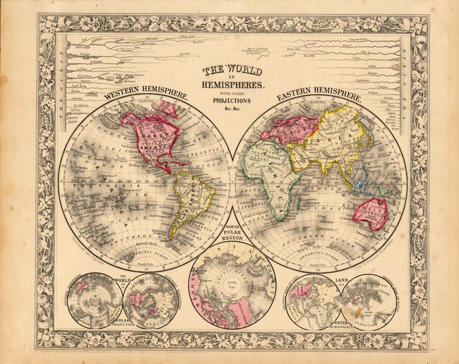
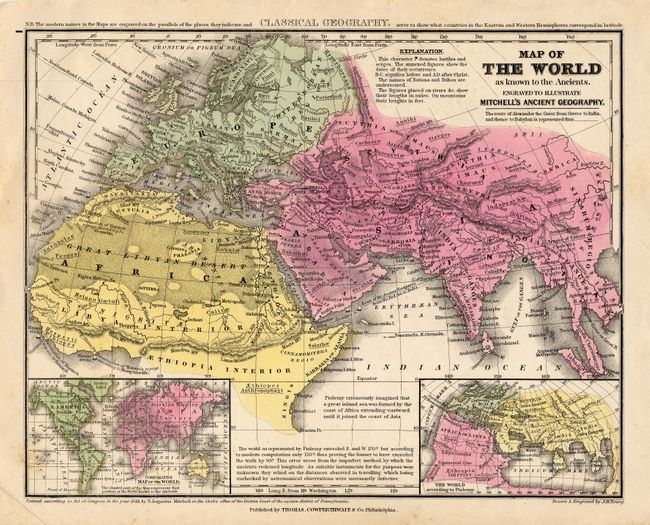
First (13 x 11") is a lovely double hemisphere map with Mitchell's unique floral border from the New General Atlas, dated 1860. Below the world map are three smaller maps: The World on a Polar Projection; North Polar Region; Land and Water Hemispheres. A comparative diagram of the world's rivers is shown above the maps with the note "Sea of Uniamezi Probable Source of the Nile." Second (10.8 x 8.5") was published in a school atlas by Thomas, Cowperthwait & Co., dated 1844. This classical map shows the Old World of Europe, northern Africa and western Asia with ancient place names. Inset are comparative maps of the World on Mercator's Projection and the World according to Ptolemy.
References:
Condition: B
Couple of minor spots. Remnants of hinge tape on verso.