Catalog Archive
Auction 111, Lot 243
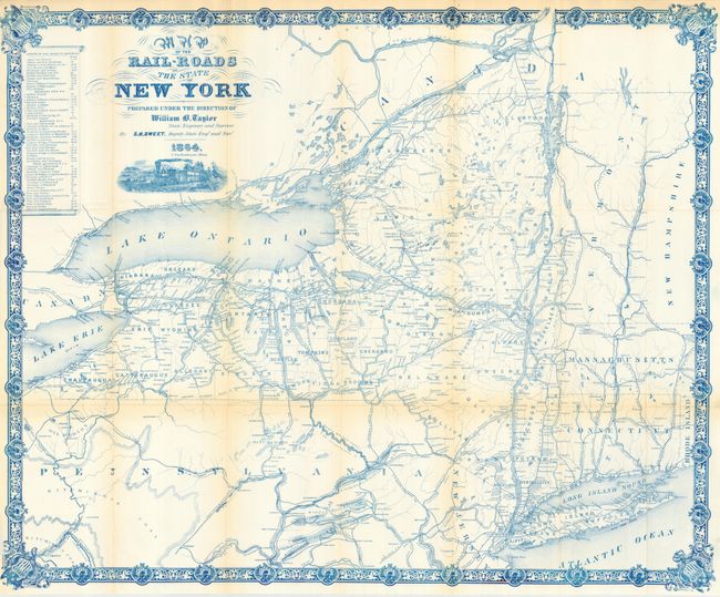
"Map of the Rail-Roads of the State of New York Prepared Under the Direction of William B. Taylor, State Engineer and Surveyor by S.H. Sweet, Dep State Engr. & Survr.", Sweet, S.H.

Subject: New York and Pennsylvania (Oil Fields)
Period: 1864 (dated)
Publication:
Color: Printed Color
Size:
28.5 x 24 inches
72.4 x 61 cm
Download High Resolution Image
(or just click on image to launch the Zoom viewer)
(or just click on image to launch the Zoom viewer)

