Catalog Archive
Auction 111, Lot 222

"Map of the City of Boston and Vicinity Published Expressly for the Boston Directory",

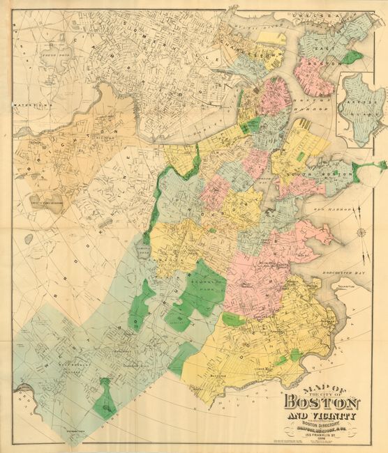
Subject: Boston Massachusetts

Period: 1896 (dated)

Publication:

Color: Printed Color

Size:
27 x 33 inches
68.6 x 83.8 cm
Download High Resolution Image
(or just click on image to launch the Zoom viewer)

Large and detailed map published by Sampson, Murdock, & Co., 155 Franklin St., Boston, drawn on a scale of 1600 feet per inch. Map extends to include all of Dorchester, West Roxbury, Brighton, and Watertown. Arcs on map show distance in 1/2 mile increments from City Hall. Dotted lines are used to indicate projected streets per the Street Dept. Compass rose in the form of a ship's wheel holds two north pointing fleur-de-lys, one for true and the other for magnetic north.

References:

Condition: A

Small area of paper weakness with one hole at neatline caused by removal from covers (not present), otherwise fine.

Estimate: $100 - $150

Sold for: $50

Closed on 6/8/2005

Archived