Subject: United States - Central
Period: 1855 (dated)
Publication:
Color: Hand Color
Size:
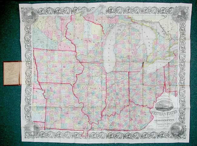
41 x 33.5 inches
104.1 x 85.1 cm
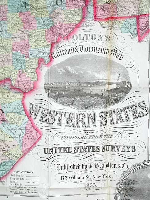
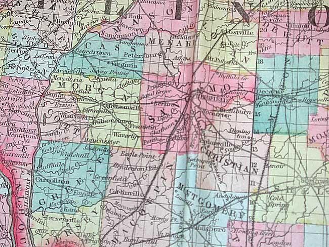
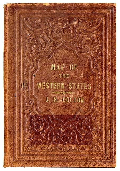
A large and beautifully detailed map of the midwestern states printed on fine banknote paper with decorative borders. Includes Ohio, Indiana, Michigan, Kentucky, Illinois, Wisconsin, Missouri, Iowa, and Minnesota. The eastern and southern parts are well developed, but northern Michigan and Wisconsin, western Iowa, and particularly Minnesota are much less organized. Absolutely filled with information on early roads, railroads, counties, towns, watershed, townships, etc. Includes vignettes of Louisville, St. Louis MO, and Cincinnati. Folds into original brown leather covers with fancy embossing and gilt lettering.
References: Rumsey #4985.
Condition: A
Fine impression and coloring with a few tiny fold intersection splits and mis-folded, else remarkable condition. Cover a little rubbed with owner's signatures inside front cover.