Subject: North America
Period: 1850-52 (dated)
Publication: Information Respecting the History... Indian Tribes…
Color: Black & White
Lot of six maps and four prints related to Native Americans. The maps are all by Capt. Seth Eastman.
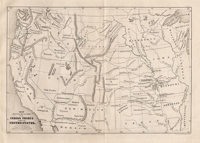
1) Map showing the location of the Indian Tribes within the United States (11 x 7.5").
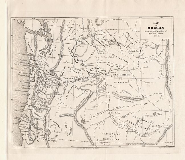
2) Map of Oregon Showing the location of Indian Tribes (10.2 x 8").
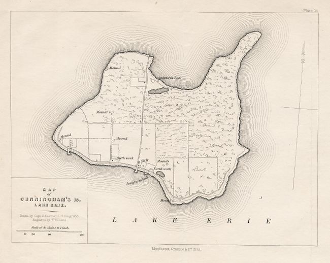
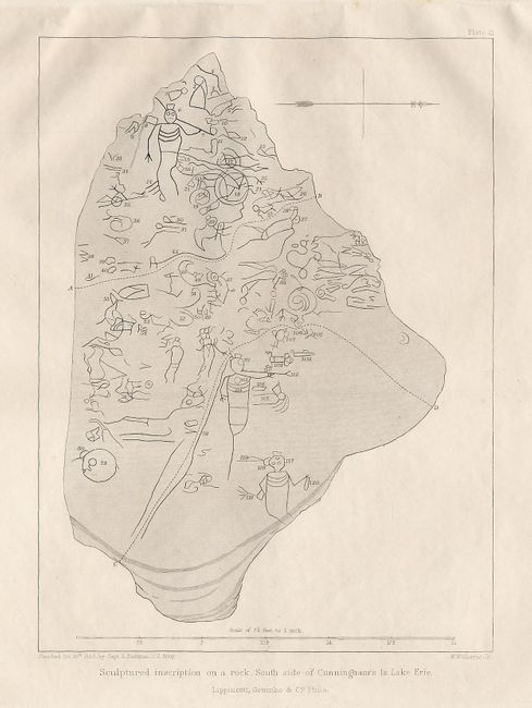
3) Map of Cunningham's Is. Lake Erie (9.5 x 7").
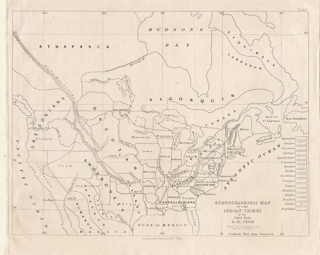
4) Ethnographical Map of the Indian Tribes of the United States A.D. 1600 (11.9 x 9").
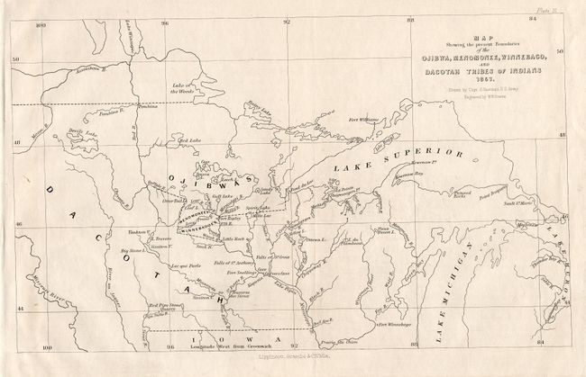
5) Map Showing the present Boundaries of the Ojibwa, Menomonee, Winnebago, and Dacotah Tribes of Indians ( 10.2 x 8").
6) Map of the Country formerly occupied by the Ioway Tribe of Indians from a map made by Waw-Non-Que-Skoon-A an Ioway Brave (10.2 x 8").
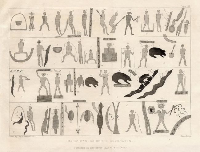
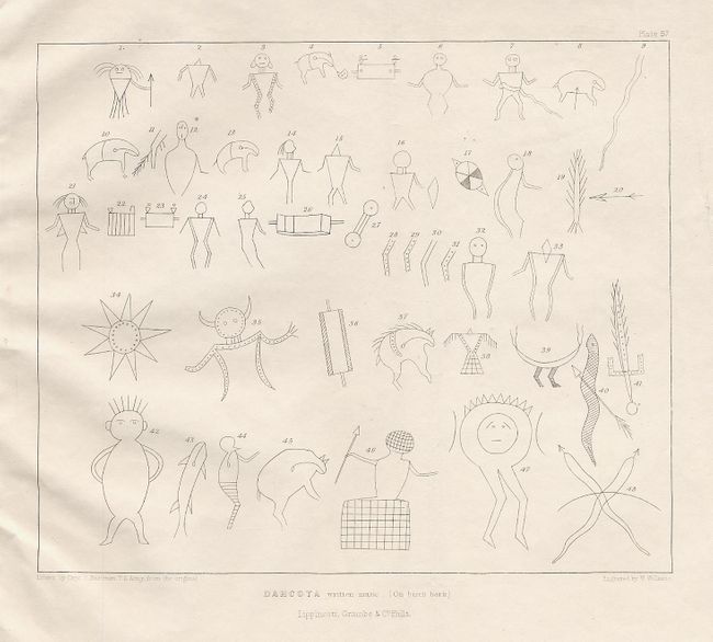
The related prints include "Dacotah written music (on birch bark)", "Magic Dances of the Ontonagons", and two more showing rock drawings.
References:
Condition: A
All clean and bright examples. Folding, as issued.