Catalog Archive
Auction 106, Lot 542

"Partie Septentrionale de l'Ocean Pacifique…", Poirson, Jean Baptiste

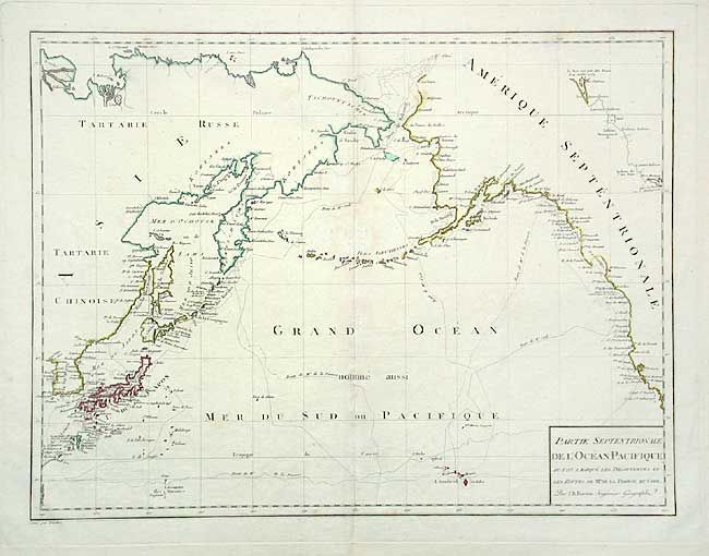
Subject: North Pacific

Period: 1790 (circa)

Publication: Atlas France

Color: Hand Color

Size:
18.2 x 13.7 inches
46.2 x 34.8 cm
Download High Resolution Image
(or just click on image to launch the Zoom viewer)

Attractive map showing the coastlines of the North Pacific. It covers the western coast of North America from California to Alaska, and the east coast of Asia from Tartary to Korea, including Japan and the Sandwich Islands (Hawaii). It also depicts the Arctic discoveries of Mackenzie (1789). The tracks of La Perouse and Captain Cook are shown.

References:

Condition: B

A few light spots on centerfold.

Estimate: $300 - $350

Sold for: $150

Closed on 3/3/2004

Archived