Catalog Archive
Auction 106, Lot 135

"Partie Meridionale de la Louisiane, avec la Floride, la Caroline et la Virginie…", D'Anville/Santini

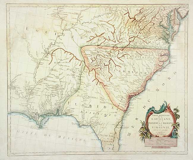
Subject: United States - Southeastern

Period: 1784 (circa)

Publication: Atlas Universel…

Color: Hand Color

Size:
22.5 x 19 inches
57.2 x 48.3 cm
Download High Resolution Image
(or just click on image to launch the Zoom viewer)

An interesting Italian version of D'Anville's map of the Southeast. Most notable for the incorrect boundaries showing a huge Louisiana extending eastward to include present-day Kentucky, Mississippi and Alabama. The boundary between the Carolinas and Florida is shown splitting Georgie at the Alatamaha ou George R. Good detail of towns and cities, Indian villages and tribes, rivers, portages, forts, harbors and early place names.

References: Phillips (A) #647-48; Sellers and Van Ee #1408.

Condition: B

Light damp stains extending into the map at top and bottom. Original color appears to have to augmented with color added to cartouche.

Estimate: $1,100 - $1,200

Sold for: $800

Closed on 3/3/2004

Archived