Catalog Archive
Auction 104, Lot 251

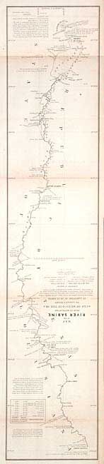
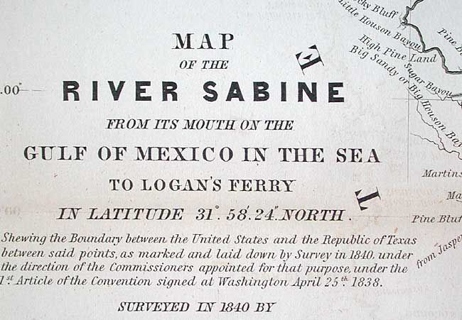
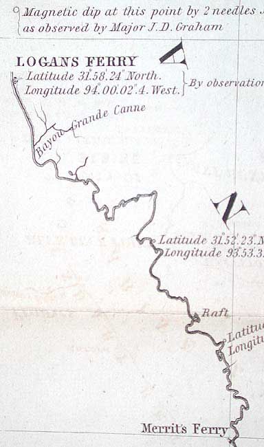
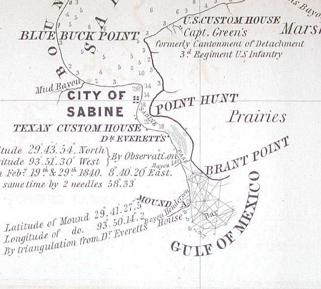
"Map of the River Sabine From its Mouth on the Gulf of Mexico in the Sea to Logan's Ferry…", U.S. Government

Subject: Texas

Period: 1840 (dated)

Publication: Sen. Ex. Doc. 199, 27th Cong., 2nd Sess.

Color: Black & White

Size:
7 x 34.2 inches
17.8 x 86.9 cm
Download High Resolution Image
(or just click on image to launch the Zoom viewer)

This was one of six maps issued with the report on the boundary survey between the Republic of Texas and the United States. The map depicts the boundary starting from a mound erected at the mouth of the river and follows up the river to Logan's Ferry (where the boundary ceases to follow the river). The map is minutely detailed and filled with fascinating notations. A rare, and important part of Texas' cartographic history. Drawn by Lieut. T.J. Lee, U.S. Topographical Engineers, engraved by W.J. Stone and published in 1842.

References: Day #952.

Condition: B

Folding as issued. Faint toning and offsetting.

Estimate: $450 - $550

Sold for: $550

Closed on 9/10/2003

Archived