Catalog Archive
Auction 101, Lot 157

"Territory of Dakota.", General Land Office
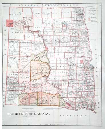
Subject: Dakotas

Period: 1882 (dated)

Publication: Sen. Doc. #283, 48th Congress 1st Sess.

Color: Printed Color

Size:
23.8 x 29 inches
60.5 x 73.7 cm
Download High Resolution Image
(or just click on image to launch the Zoom viewer)

A striking county map of the territory showing the location of military and Indian Reservations, railroads, extent of Northern Pacific railroad land grants, cities, towns and county seats. The majority of the western portion of the territory is devoted to Indian Reservations. Economic development is still largely limited to the eastern regions. By 1880 cattlemen [many from Texas] occupied most of the range in Dakota. Bismark is shown as the capital. Detailed and beautifully lithographed by Bien.

References:

Condition: A

Issued folding, now backed with archival tissue.

Estimate: $120 - $150

Sold for: $90

Closed on 12/4/2002

Archived