Filtered by Category:Canada(Show All Categories)
Showing results for:Auction 128
Catalog Archive
38 lots
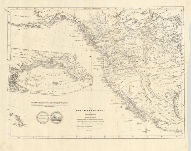
Auction 128, Lot 150
Subject: Western North America
Burr, David H.
The North-West-Coast of North America and Adjacent Territories…, 1840
Size: 21.3 x 16 inches (54.1 x 40.6 cm)
Estimate: $250 - $350
Sold for: $325
Closed on 5/20/2009
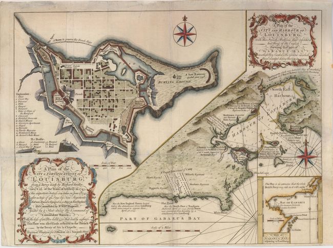
Auction 128, Lot 151
Subject: Canada, Louisburg
Gridley, Richard (Lt. Col.)
A Plan of the City & Fortifications of Louisburg… [on sheet with] A Plan of the City and Harbour of Louisburg…, 1758
Size: 14 x 10.5 inches (35.6 x 26.7 cm)
Estimate: $375 - $425
Sold for: $275
Closed on 5/20/2009
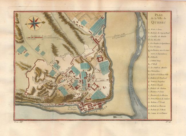
Auction 128, Lot 152
Subject: Canada, Quebec
Bellin, Jacques Nicolas
Plan de la Ville de Quebec, 1757
Size: 11 x 7.5 inches (27.9 x 19.1 cm)
Estimate: $190 - $230
Sold for: $190
Closed on 5/20/2009
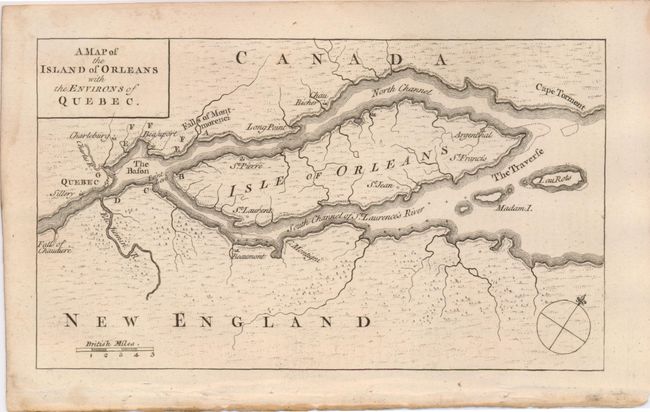
Auction 128, Lot 153
Subject: Canada, Quebec
Anon.
A Map of the Island of Orleans with the Environs of Quebec, 1759
Size: 7.3 x 4.3 inches (18.5 x 10.9 cm)
Estimate: $140 - $180
Sold for: $100
Closed on 5/20/2009
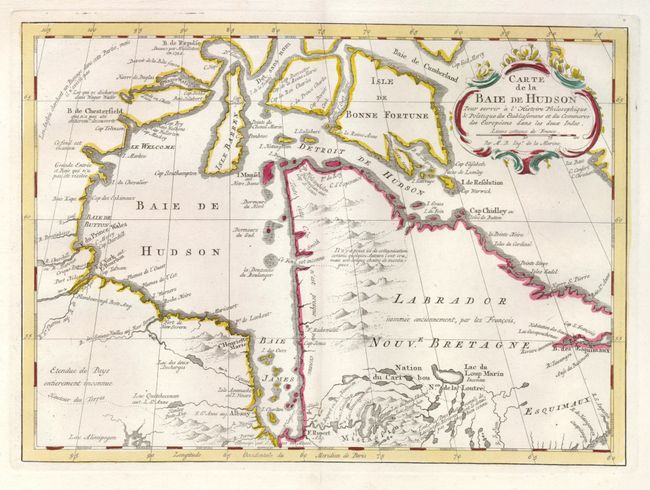
Auction 128, Lot 154
Subject: Canada
Bellin, Jacques Nicolas
Carte de la Baie de Hudson Pour Servir a l'Histoire Philosophique…, 1773
Size: 11.8 x 8.5 inches (30 x 21.6 cm)
Estimate: $200 - $250
Unsold
Closed on 5/20/2009
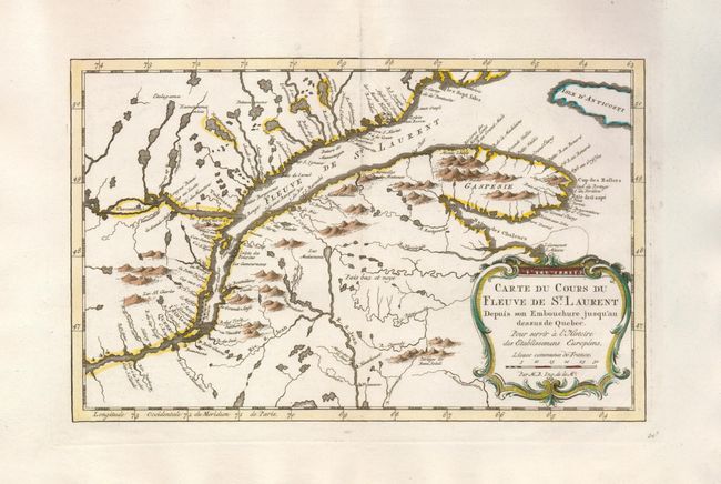
Auction 128, Lot 155
Subject: Canada
Bellin, Jacques Nicolas
[Lot of 2] Carte du Cours du Fleuve de St. Laurent Depuis son Embouchure jusqu'au Dessus de Quebec [and] Suite du Cours du Fleuve de St. Laurent Depuis Quebec jusqu' au Lac Ontario, 1773
Size: 11.5 x 7.3 inches (29.2 x 18.5 cm)
Estimate: $300 - $350
Sold for: $220
Closed on 5/20/2009
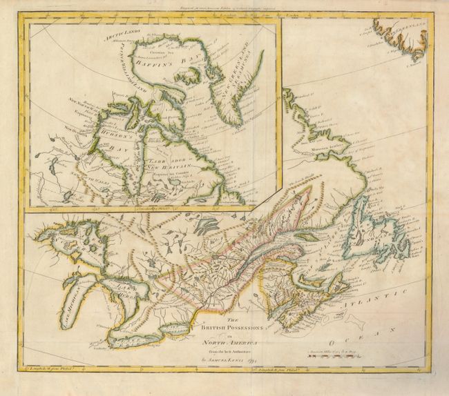
Auction 128, Lot 156
Subject: Canada
Lewis/Carey
The British Possessions in North America from the best Authorities, 1794
Size: 17.3 x 15 inches (43.9 x 38.1 cm)
Estimate: $375 - $450
Sold for: $150
Closed on 5/20/2009
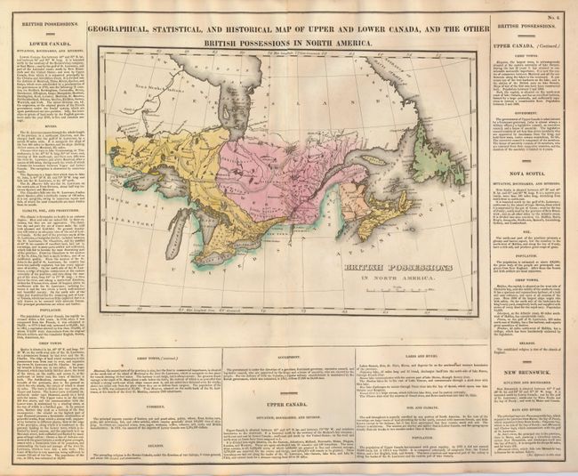
Auction 128, Lot 157
Subject: Canada
Carey & Lea
Geographical, Statistical, and Historical Map of Upper and Lower Canada, and the other British Possessions in North America, 1822
Size: 20.5 x 16.7 inches (52.1 x 42.4 cm)
Estimate: $120 - $160
Sold for: $80
Closed on 5/20/2009
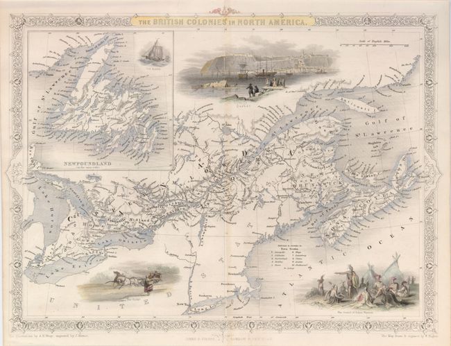
Auction 128, Lot 158
Subject: Canada
Hughes, William
The British Colonies in North America, 1860
Size: 12.7 x 9.5 inches (32.3 x 24.1 cm)
Estimate: $230 - $275
Unsold
Closed on 5/20/2009
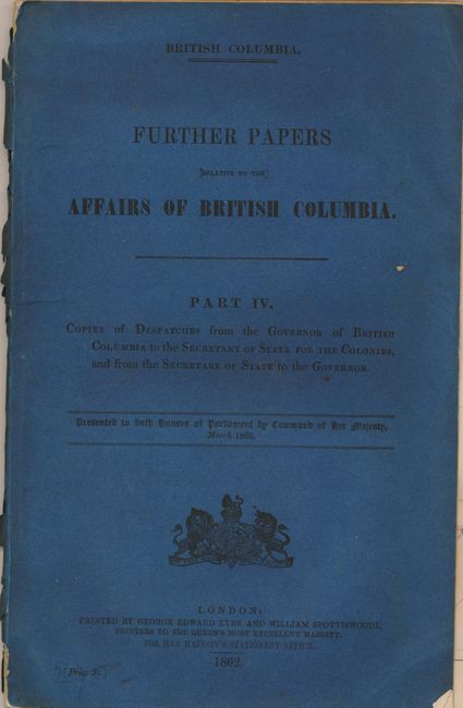
Auction 128, Lot 159
Subject: British Columbia, Canada
Further Papers Relative to the Affairs of British Columbia. Part IV, 1862
Size: 8.3 x 13 inches (21.1 x 33 cm)
Estimate: $400 - $600
Sold for: $325
Closed on 5/20/2009
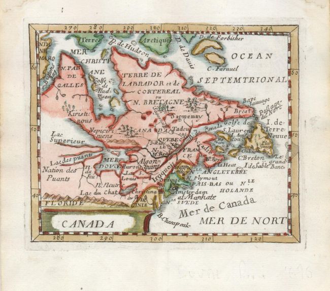
Auction 128, Lot 160
Subject: Colonial United States and Canada
Duval, Pierre
Canada, 1676
Size: 4.8 x 3.8 inches (12.2 x 9.7 cm)
Estimate: $450 - $550
Unsold
Closed on 5/20/2009
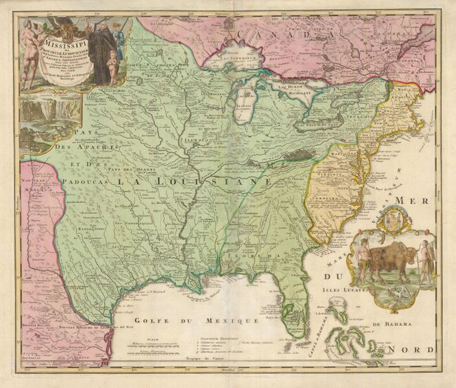
Auction 128, Lot 161
Subject: Colonial United States and Canada
Homann, Johann Baptist
Amplissimae Regionis Mississipi Seu Provinciae Ludovicianae…, 1730
Size: 22.8 x 19.3 inches (57.9 x 49 cm)
Estimate: $1,700 - $2,000
Sold for: $1,600
Closed on 5/20/2009
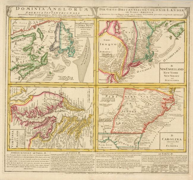
Auction 128, Lot 162
Subject: Colonial United States and Canada
Homann Heirs
Dominia Anglorum in America Septentrionali, 1740
Size: 21.8 x 19.8 inches (55.4 x 50.3 cm)
Estimate: $800 - $1,000
Sold for: $600
Closed on 5/20/2009
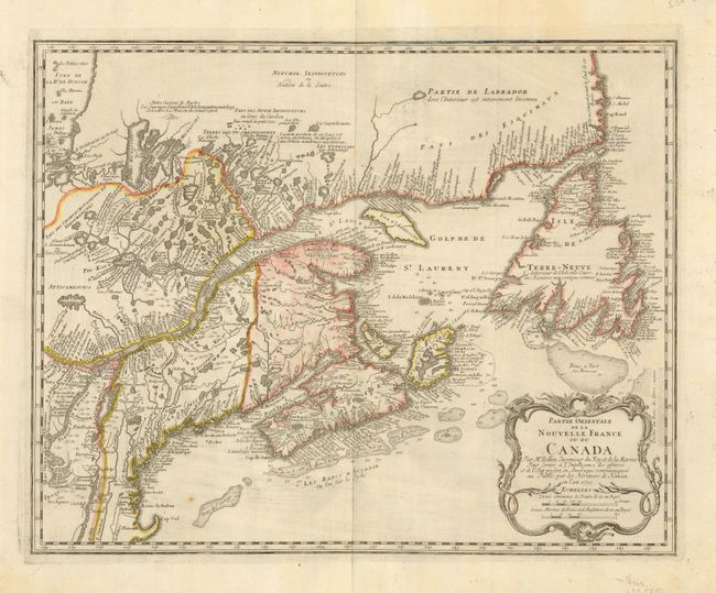
Auction 128, Lot 163
Subject: Colonial New England and Canada
Bellin, Jacques Nicolas
Partie Orientale de la Nouvelle France ou du Canada, 1755
Size: 21.3 x 17 inches (54.1 x 43.2 cm)
Estimate: $1,000 - $1,200
Unsold
Closed on 5/20/2009
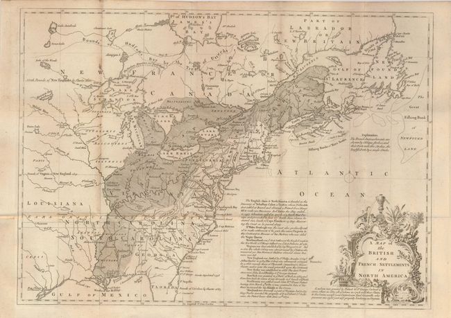
Auction 128, Lot 164
Subject: Colonial United States and Canada
Lodge, John
A Map of the British and French Settlements in North America, 1755
Size: 15 x 11 inches (38.1 x 27.9 cm)
Estimate: $400 - $600
Unsold
Closed on 5/20/2009
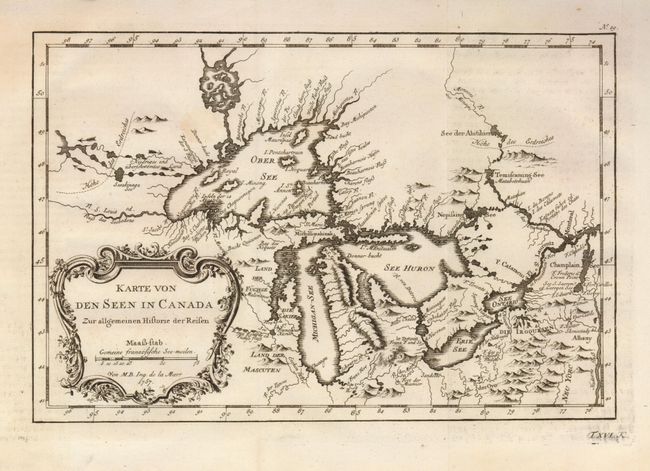
Auction 128, Lot 165
Subject: Colonial Great Lakes
Bellin, Jacques Nicolas
Karte von den Seen in Canada Zur allgemeinen Historie der Reisen, 1757
Size: 11.2 x 7.5 inches (28.4 x 19.1 cm)
Estimate: $425 - $475
Unsold
Closed on 5/20/2009
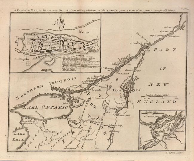
Auction 128, Lot 166
Subject: Colonial United States and Canada
Gibson, John
A Particular Map, to Illustrate Gen. Amherst's Expedition, to Montreal; with a Plan of the Town & Draught of ye Island, 1760
Size: 9 x 7 inches (22.9 x 17.8 cm)
Estimate: $180 - $220
Sold for: $140
Closed on 5/20/2009
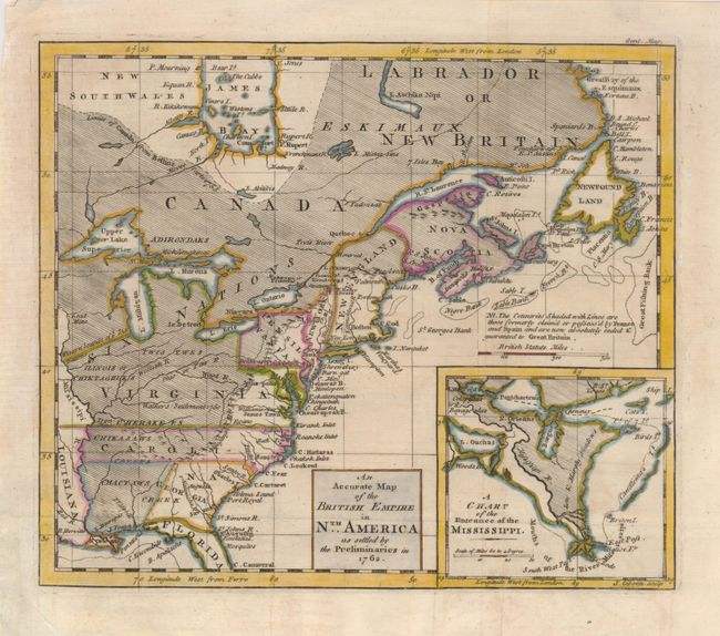
Auction 128, Lot 167
Subject: Colonial United States and Canada
Gibson, John
An Accurate Map of the British Empire in Nth. America as settled by the Preliminaries in 1762, 1762
Size: 9.5 x 8 inches (24.1 x 20.3 cm)
Estimate: $350 - $425
Sold for: $250
Closed on 5/20/2009
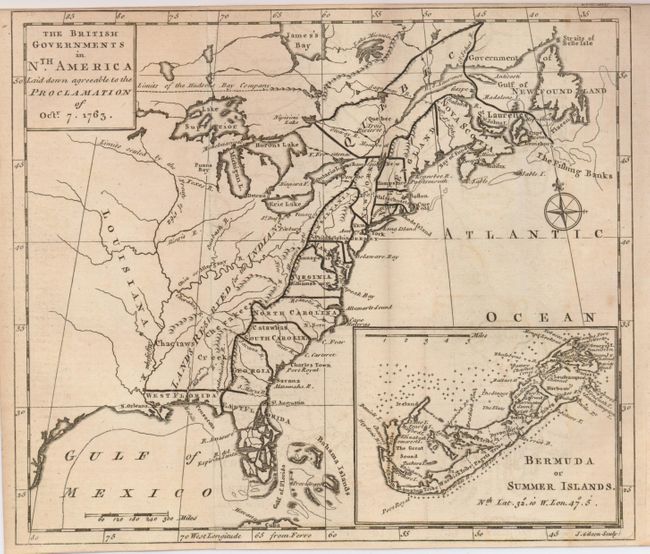
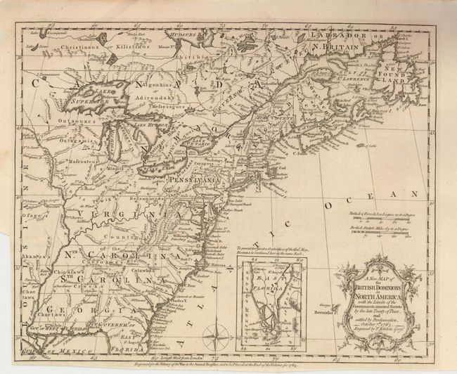
Auction 128, Lot 168
Subject: Colonial United States and Canada
Gibson, John
The British Governments in Nth. America laid down agreeable to the Proclamation of Octr. 7, 1763, 1763
Size: 9.3 x 8 inches (23.6 x 20.3 cm)
Estimate: $250 - $350
Sold for: $300
Closed on 5/20/2009
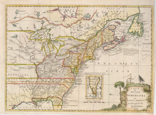
Auction 128, Lot 169
Subject: Colonial United States and Canada
Ridge, John
A Map of the British Dominions in North America as Settled by the late Treaty of Peace 1763, 1763
Size: 15 x 11 inches (38.1 x 27.9 cm)
Estimate: $500 - $600
Sold for: $550
Closed on 5/20/2009
Auction 128, Lot 170
Subject: Colonial United States and Canada
Kitchin, Thomas
A New Map of the British Dominions in North America; with the Limits of the Governments Annexed thereto by the Late Treaty of Peace, and Settled by Proclamation, October 7th, 1763, 1763
Size: 11.7 x 9.5 inches (29.7 x 24.1 cm)
Estimate: $650 - $800
Unsold
Closed on 5/20/2009
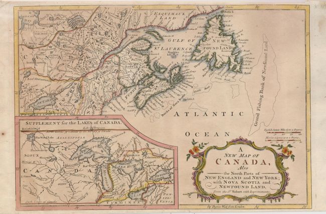
Auction 128, Lot 171
Subject: Colonial United States and Canada, Great Lakes
Anon.
A New Map of Canada, Also the North Parts of New England and New York; with Nova Scotia and Newfound Land, 1766
Size: 11.5 x 7.9 inches (29.2 x 20.1 cm)
Estimate: $275 - $350
Sold for: $200
Closed on 5/20/2009
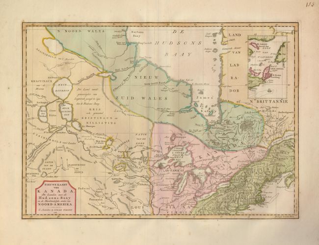
Auction 128, Lot 172
Subject: Colonial United States and Canada
Tirion, Isaac
Nieuwe Kaart van Kanada, de Landen aan de Hudsons-Baay en de Noordwestelyke deelen van Noord-Amerika, 1769
Size: 17 x 12 inches (43.2 x 30.5 cm)
Estimate: $400 - $450
Sold for: $220
Closed on 5/20/2009
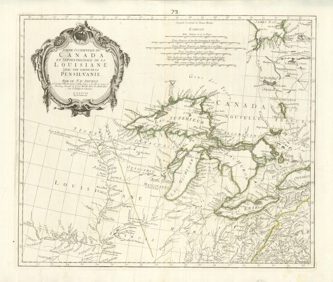
Auction 128, Lot 173
Subject: Colonial United States and Canada, Great Lakes
D'Anville/Santini
Partie Occidentale du Canada et Septentrionale de la Louisiane avec une Partie de la Pensilvanie, 1775
Size: 22.5 x 19 inches (57.2 x 48.3 cm)
Estimate: $1,000 - $1,300
Sold for: $750
Closed on 5/20/2009
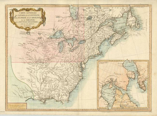
Auction 128, Lot 174
Subject: Colonial United States and Canada
D'Anville/Santini
Carte Generale du Canada, de la Louisiane, de la Floride, de la Caroline, de la Virginie, de la Nouvelle Angleterre etc. par le Sr. d'Anville, 1776
Size: 25.8 x 18.8 inches (65.5 x 47.8 cm)
Estimate: $1,000 - $1,300
Sold for: $600
Closed on 5/20/2009
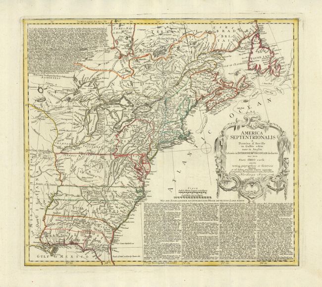
Auction 128, Lot 175
Subject: Colonial United States and Canada
Homann Heirs
America Septentrionalis a Domino d'Anville in Galliis edita nunc in Anglia Coloniis in Interiorem Virginiam deductis nec non Fluvii Ohio cursu…, 1777
Size: 20 x 18 inches (50.8 x 45.7 cm)
Estimate: $600 - $800
Sold for: $550
Closed on 5/20/2009
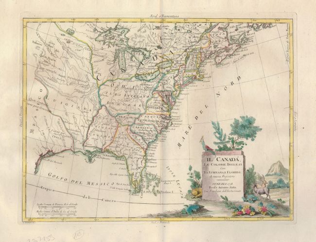
Auction 128, Lot 176
Subject: Colonial United States and Canada
Zatta, Antonio
Il Canada, Le Colonie Inglesi Con La Luigiana, e Florida. di nuova Projezione. Venezia 1778. Presso Antonio Zatta Con Privilegio dell'Eccmo Senato, 1778
Size: 16 x 11.8 inches (40.6 x 30 cm)
Estimate: $300 - $400
Sold for: $350
Closed on 5/20/2009
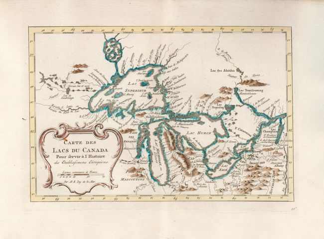
Auction 128, Lot 177
Subject: Canada and United States, Great Lakes
Bellin, Jacques Nicolas
Carte des Lacs du Canada…, 1780
Size: 11.3 x 7.4 inches (28.7 x 18.8 cm)
Estimate: $550 - $650
Sold for: $475
Closed on 5/20/2009
Auction 128, Lot 178
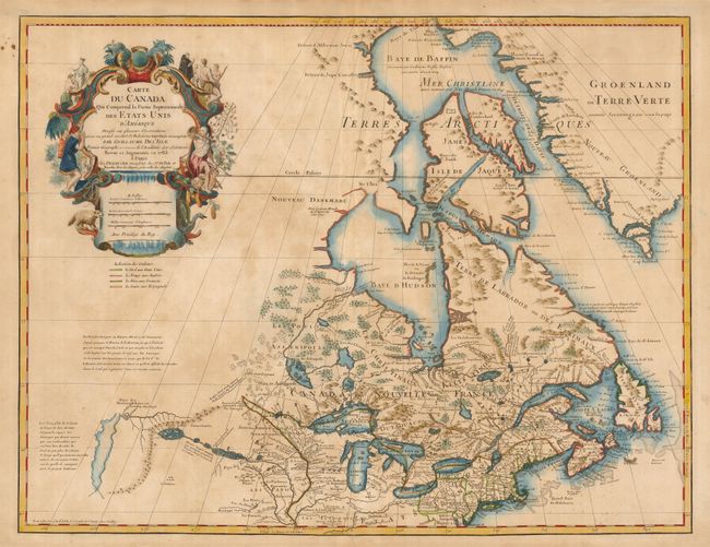
Subject: Colonial United States and Canada, Great Lakes
Delisle/Dezauche
Carte du Canada qui Comprend la Partie Septentrionale des Etats Unis…, 1783
Size: 25.3 x 19.5 inches (64.3 x 49.5 cm)
Estimate: $800 - $1,000
Unsold
Closed on 5/20/2009
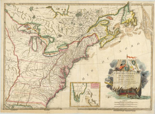
Auction 128, Lot 179
Subject: Eastern Canada & United States
Lattre, Jean
Carte des Etats-Unis de l'Amerique Suivant le Traite de Paix de 1783. Dediee et Presentee a S. Excellence Mr. Benjamin Franklin…, 1784
Size: 30 x 21.325 inches (76.2 x 54.2 cm)
Estimate: $2,000 - $2,400
Sold for: $2,100
Closed on 5/20/2009
Auction 128, Lot 180
Subject: Canada & Central United States
Schraembl, Franz Anton
[General Karte von Nordamerica samt den West Indischen Inseln… (Northwest Sheet)], 1790
Size: 23 x 19.8 inches (58.4 x 50.3 cm)
Estimate: $500 - $600
Sold for: $375
Closed on 5/20/2009
Auction 128, Lot 181
Subject: Eastern Canada & United States
Tardieu
Carte de la Partie Septentrionale des Etats Unis, comprenant le Canada, La Nouvelle Ecosse, New Hampshire, Massachuset's Bay, Rhode-Island, Connecticut, New-Yorck, Etat de Vermont avec partie de Pensilvanie et de New-Jersey, 1797
Size: 16.8 x 12.5 inches (42.7 x 31.8 cm)
Estimate: $325 - $400
Sold for: $230
Closed on 5/20/2009
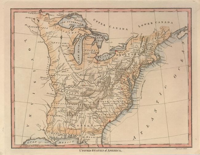
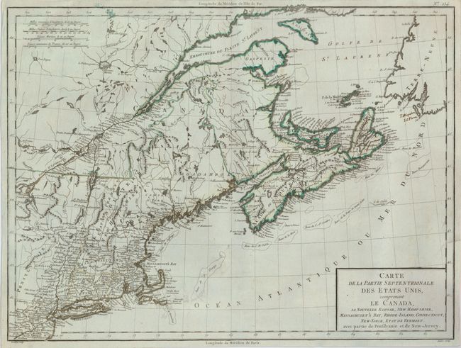
Auction 128, Lot 182
Subject: Eastern United States & Canada
Sherwood, Neely & Jones
[Lot of 2] United States of America. [and] British Possessions in North America, 1797-1821
Size: 9.5 x 7.4 inches (24.1 x 18.8 cm)
Estimate: $190 - $250
Sold for: $140
Closed on 5/20/2009
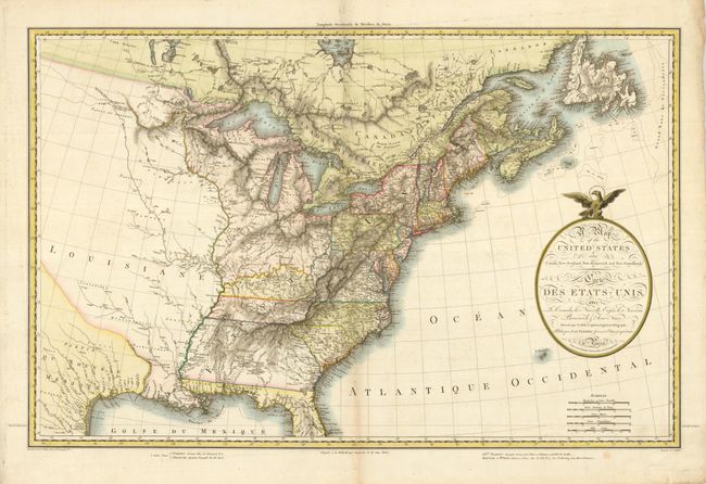
Auction 128, Lot 183
Subject: Eastern United States & Canada
Lapie/Tardieu
A Map of the United States and Canada, New-Scotland, New-Brunswick and New-Foundland - Carte des Etats-Unis…, 1806
Size: 29.5 x 19.5 inches (74.9 x 49.5 cm)
Estimate: $1,200 - $1,400
Sold for: $1,400
Closed on 5/20/2009
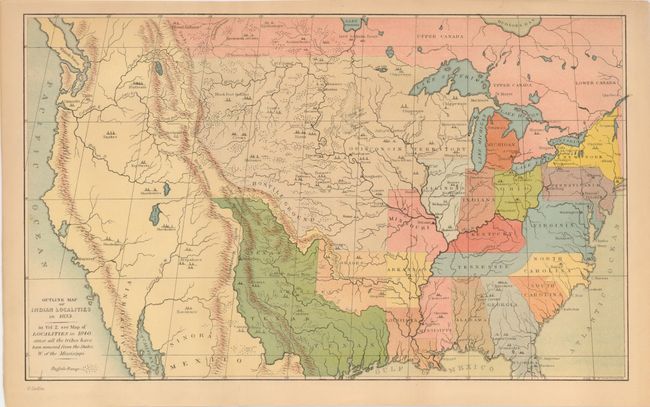
Auction 128, Lot 184
Subject: United States and Canada
Catlin, George
Outline Map of Indian Localities in 1833, 1841[92]
Size: 14.5 x 8.8 inches (36.8 x 22.4 cm)
Estimate: $100 - $150
Sold for: $425
Closed on 5/20/2009
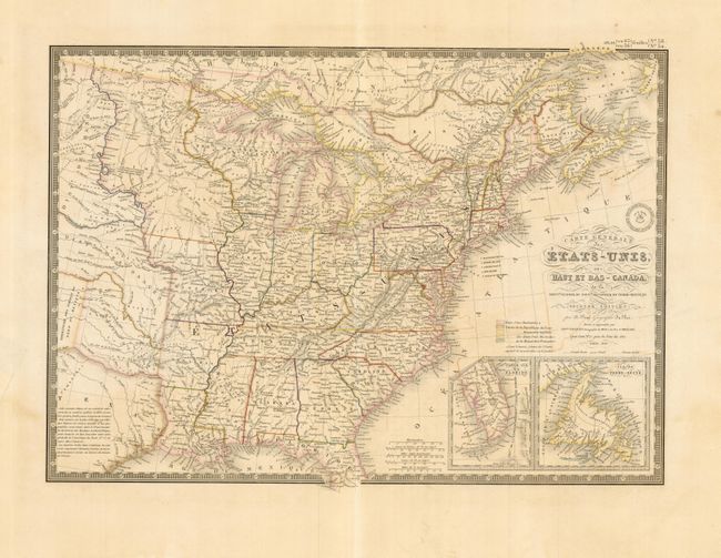
Auction 128, Lot 185
Subject: Eastern United States & Canada
Brue, Adrien Hubert
Carte Generale des Etats-Unis, des Haut et Bas-Canada…, 1843
Size: 20.2 x 14.2 inches (51.3 x 36.1 cm)
Estimate: $240 - $300
Unsold
Closed on 5/20/2009
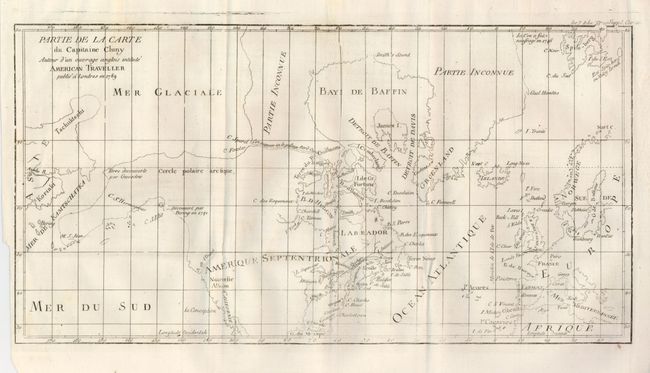
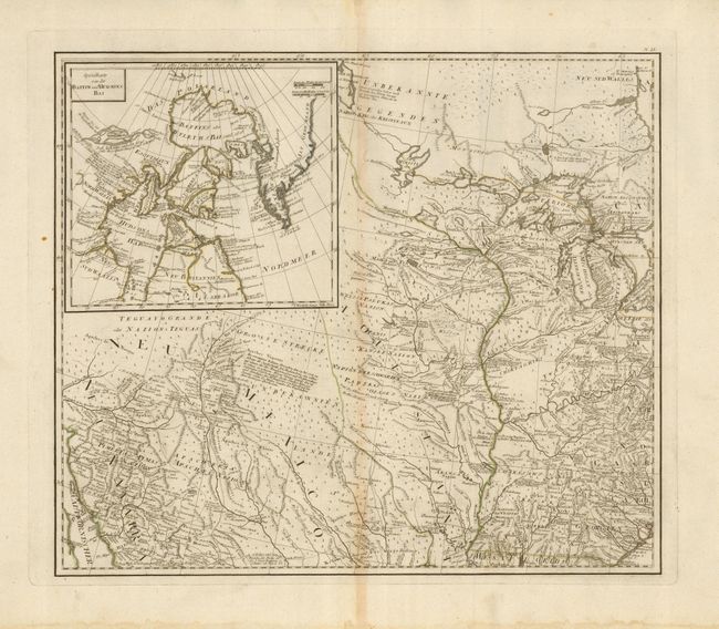
Auction 128, Lot 186
Subject: Arctic, Canada and Alaska
Robert de Vaugondy, Didier
Partie de la Carte du Capitaine Cluny Auteur d'un ouvrage Anglois Intitule American Traveller, 1769
Size: 19 x 11.5 inches (48.3 x 29.2 cm)
Estimate: $180 - $220
Unsold
Closed on 5/20/2009
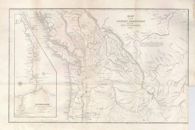
Auction 128, Lot 291
Subject: Northwestern United States
Wilkes, Charles
Map of the Oregon Territory from the Best Authorities, 1849
Size: 13 x 8 inches (33 x 20.3 cm)
Estimate: $190 - $250
Sold for: $95
Closed on 5/20/2009
38 lots