Our Top Ten Picks for Reference Booksby Joe McAlhany
Every antique map collector needs a reference library, even if it is just a few helpful volumes. No matter how large your collection is, reference books are a critical resource if you want to understand your maps. For the novice collector, reference books can provide guidance and direction as you amass your collection. For the experienced obsessive, a reference library can help you keep track of what you have already -- and, perhaps more importantly, what you still need to acquire. Whether you want to identify a specific edition, find a publication date, catalog geographic changes and irregularities, or compare your map to similar contemporaneous maps, a small stack of reference books is going to be necessary.
Here at Old World Auctions, we have an extensive reference library of hundreds of titles on maps and the history of cartography, including whole runs of many prominent magazines and journals. If you take a look at our shelves, you will see that our collection is well-loved; there are torn dust jackets, worn spines, and even a few volumes that are held together with tape. It is our job to understand, contextualize, and interpret the maps we have in our offices, and, along with our experience, our reference library is the source of our expertise. We thought it would be helpful to our customers if we were to highlight ten of the most useful references from our personal library, the books we absolutely could not do without. This is not intended to be a definitive list of the best cartographic reference books ever written. Instead it is our way of showing our appreciation to these titles. We heartily recommend collectors picking up any and all of these wonderful books! [Please note that these are our personal opinions, and we are not compensated in any way by the authors or publishers of these books.]
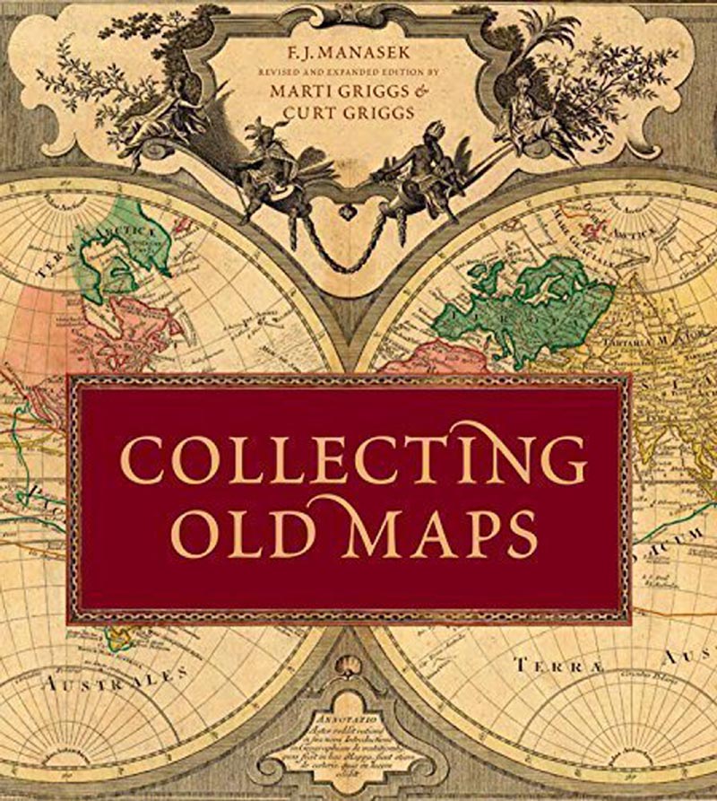
Collecting Old Maps by F.J. Manasek, revised and expanded by Curt and Marti Griggs (2015)
We wanted to kick off the list with a general reference that serves as a great introduction for beginning collectors as well as an enriching read for more seasoned cartophiles. This handsome book includes just about everything a newcomer to the world of antique maps needs to know, with chapters on basic map vocabulary, types of maps, the mapmaking process, condition and conservation, the map market, and pointers on how to build a collection. It chases this highly readable 101 on antique maps with a gorgeously illustrated full-color survey of cartographic history featuring maps from the late 15th century to 1962. Appendices include "The Map Collector's Reference Library" (which puts this brief list to shame), a glossary, and additional resources for map collectors. Our personal favorite addition to the updated version is the indispensable appendix on commonly used allegorical symbols.
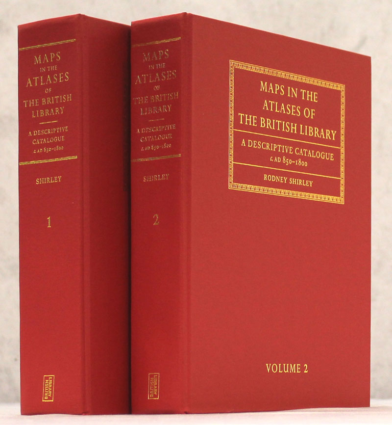
Maps in the Atlases of the British Library - A Descriptive Catalogue c. AD 850-1800 by Rodney Shirley (2004)
Oftentimes one of us will go to grab one of these two scarlet volumes from the shelf only to find that somebody else in the office is already using it. As the title suggests, these two volumes meticulously document the impressive collection of atlases held by the British Library. That includes not only terrestrial atlases, but also maritime, celestial, and manuscript atlases and general works as well. Entries include descriptions of the atlas, such as its publication history and physical appearance, often followed by a complete or mostly complete listing of all the maps contained in the atlas. These map lists make it invaluable for figuring out exact publication dates. Shirley's towering work is probably the most used reference in our offices.
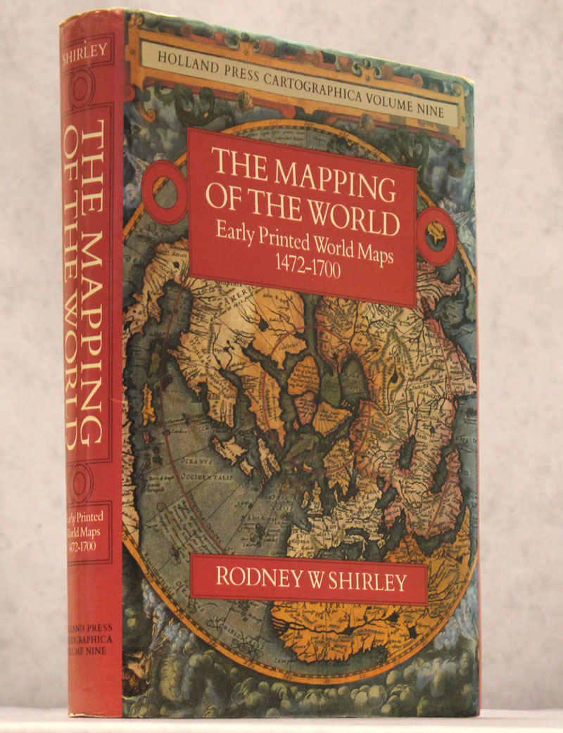
The Mapping of the World - Early Printed World Maps 1472-1700 by Rodney W. Shirley (2001)
This is another key reference by Shirley. It features entries on more than 600 world maps, many of them rare and highly desirable, accompanied by in-depth descriptions and illustrations (18 of them in full-color). Shirley's descriptions are always a pleasure to read and reveal the most fascinating details about each map. Among the appendices are a rarity index, a section on lost or apocryphal maps, and an overview of lesser known mapmakers. This has been a must-have reference since its original publication in 1983, and has only grown more essential over time.
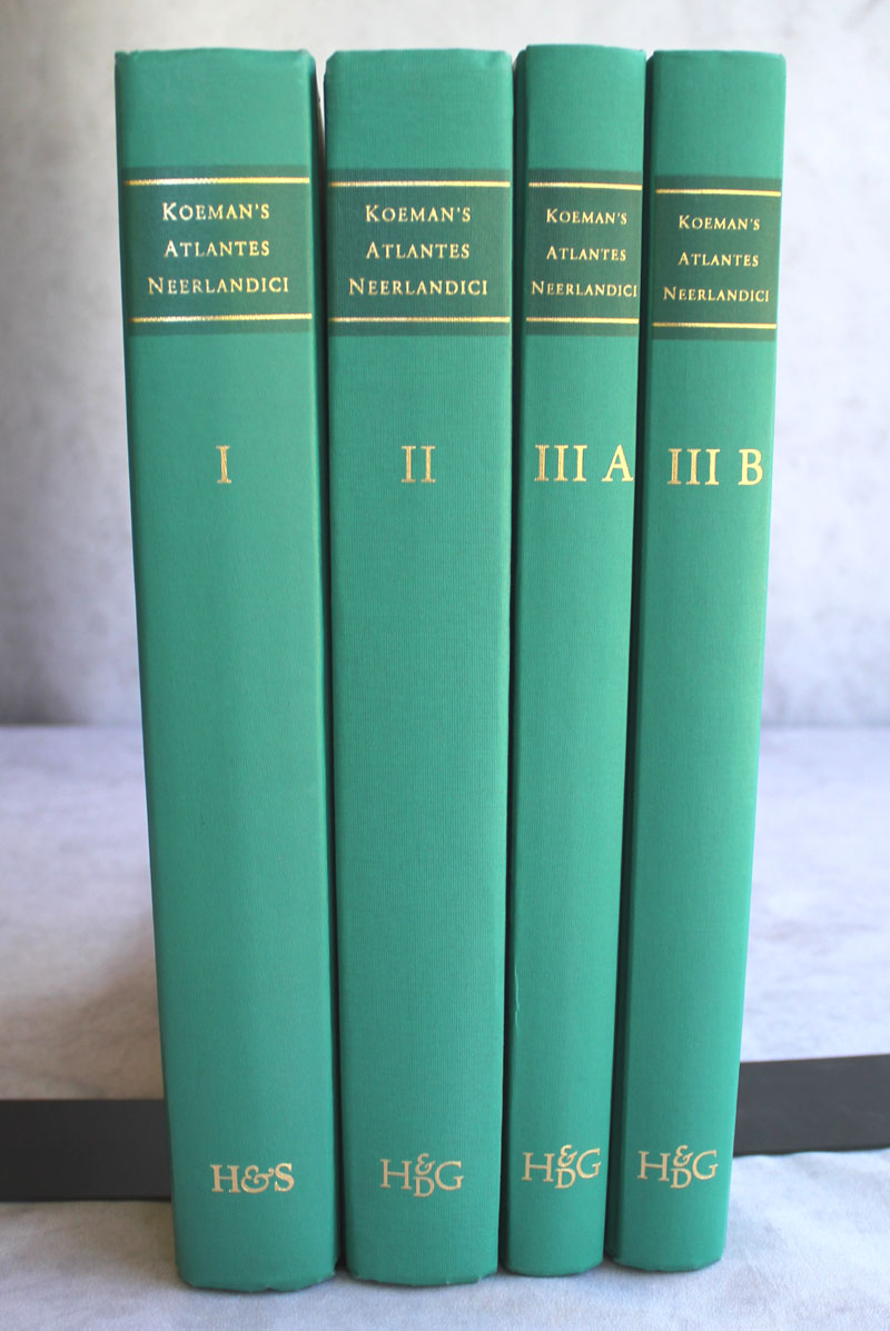
Koeman's Atlantes Neerlandici Volumes I-IV by Dr. Peter van der Krogt (1997-2003)
We purchased the first three volumes of Dr. Van der Krogt's diligently researched update of Koeman's reference classic a few years ago, and now it's hard to imagine functioning without it. It focuses exclusively on atlases published in the Netherlands. Volume I covers folio atlases published by Mercator, Jodocus and Henricus Hondius, Johannes Jansson, and their successors; Volume II documents the folio atlases of the Blaeu family; and Volume III, which spans two books, is our go-to for Dutch miniature maps. And although we haven't yet added it to our reference library, Volume IV is also available, covering town atlases by Braun & Hogenberg, Blaeu, Jansson, and others, as well as Van der Aa's Galerie Agreable du Monde. Admittedly, it takes a little while to get used to navigating these books, but once you get the hang of it, there is no better resource for collectors of the Golden Age of Dutch Cartography.
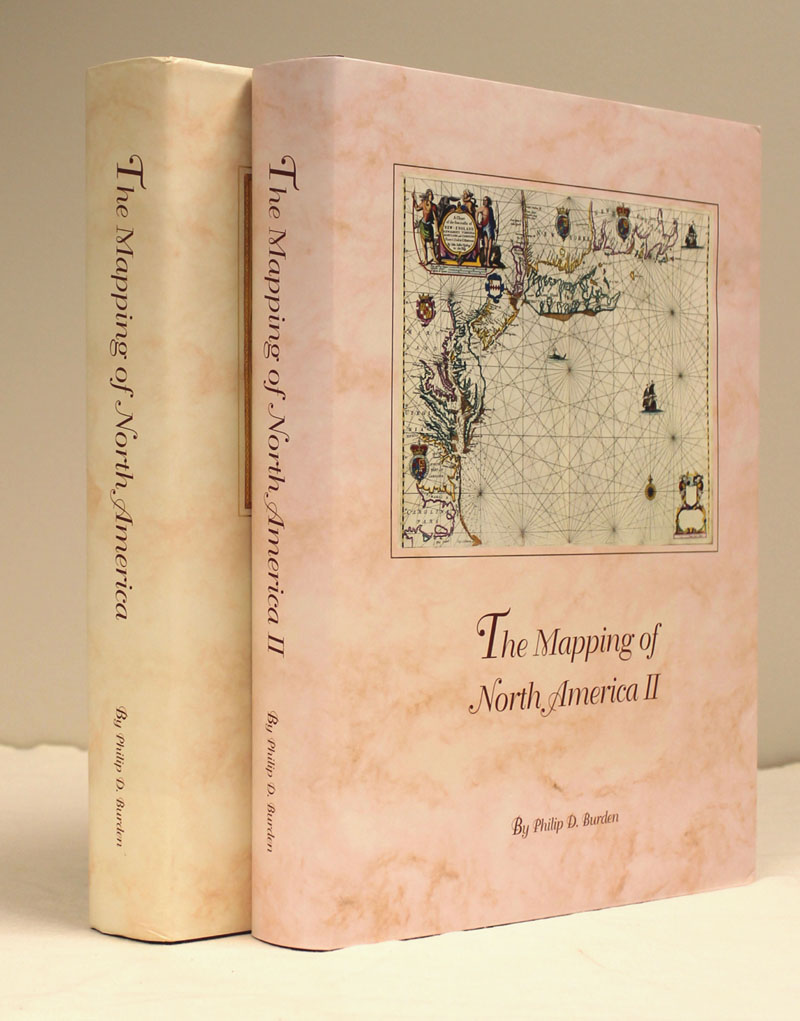
The Mapping of North America I & II by Philip D. Burden (1996-2007)
Burden's authoritative reference has done more to shape our understanding of early maps of North America than any other work. The two volumes chronicle the development and mapping of the New World from Peter Martyr d'Anghiera's untitled map of the Spanish Main and northern coast of South America (published in 1511) to Theodorus Danckerts' extremely rare Americam Utramque... (published circa 1700). Each of the 774 maps contained within is accompanied by a brief, well-researched description that often goes into the nitty-gritty of the map's publication history and cartographic sources without overstaying its welcome. If collectors of 16th and 17th century maps of the continent only have space on their shelf for one reference, make it this one.
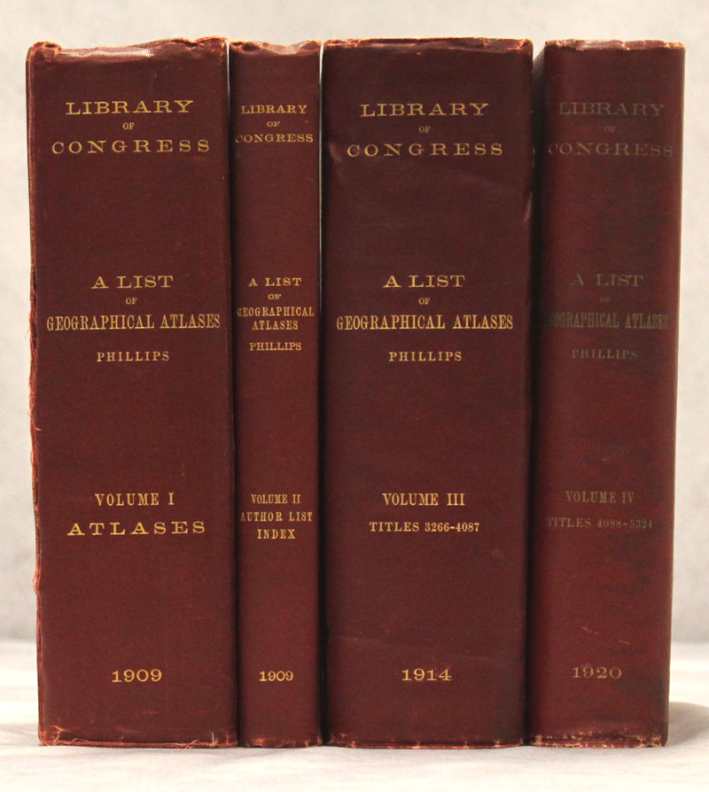
A List of Geographical Atlases in the Library of Congress Volumes I-IV by Philip Lee Phillips (1909-20)
Phillip Lee Phillips, the first Superintendent of Maps at the Library of Congress, died nearly a century ago, but the gargantuan bibliographical list of atlases compiled under his direction continues to live on. While it lacks the modern scholarly rigor and level of detail of Shirley's volumes on the British Library's collection, Phillips's opus still covers a staggering 5,300+ entries, with brief but helpful notes about the publications and lists of maps (with a special emphasis on those related to the Americas). These four brick-like volumes have been an essential reference for collectors for generations. Martino Publishing did a small, 100-copy reprint back in 1999, but used copies of the originals are relatively easy to track down.
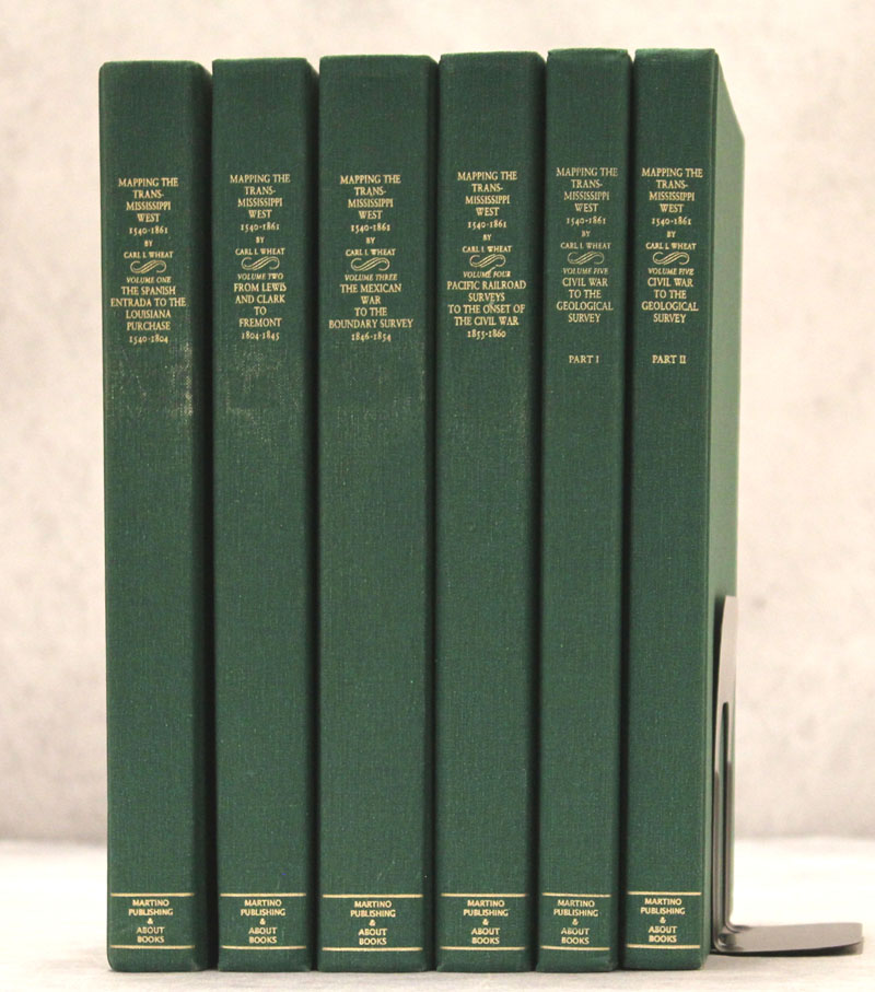
Mapping the Transmississippi West 1540-1861 Volumes I-V by Carl I. Wheat (2004)
Originally published from 1957-63 (we use the limited Martino Publishing reprint from 2004), Wheat's monumental work on the cartographic history of the American West really came in handy during our recent June auction, which focused on the evolution of the United States. Wheat lists more than 1300 maps, 376 of which are shown in facsimile, tracking the progress of western exploration and surveying from the earliest expeditions by the Spaniards in the 16th century until the era of the geological surveys. It is hard to imagine a more thorough narrative of the mapping of the West.
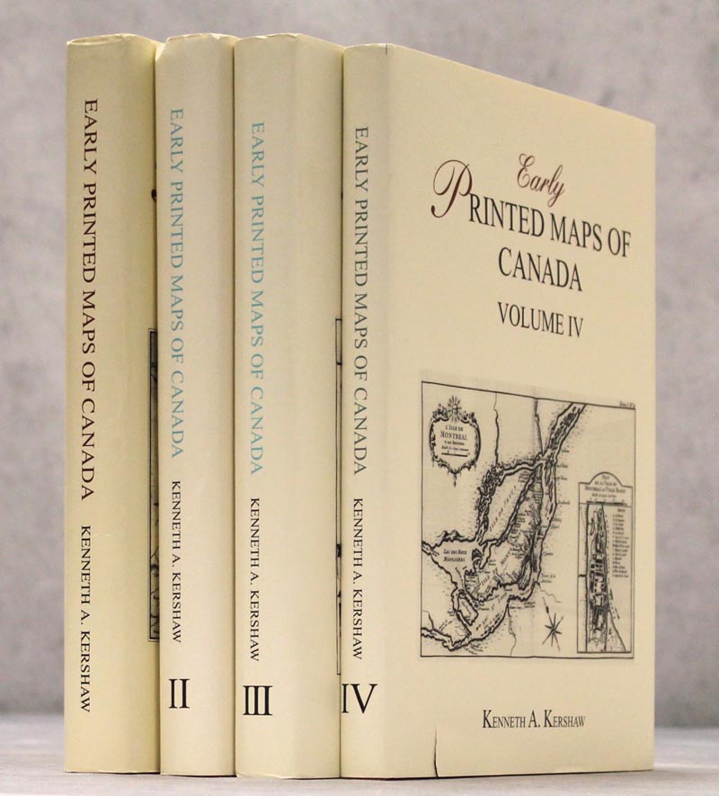
Early Printed Maps of Canada Volumes I-IV by Kenneth A. Kershaw (1993-98)
If you need a reference to identify, attribute, or date a map of Canada, look no further. Kershaw's reference moves in chronological order through more than 250 years of maps focused on the Great White North (and, oftentimes, the northeastern United States). It lists more than 1,200 maps and includes black and white images of a little less than 1,000 of them. The descriptions tend to only include enough to be able to identify the map, which makes it an incredibly efficient resource. Kershaw exhaustively lists every state of a map, so it is especially useful for pinpointing the exact state.
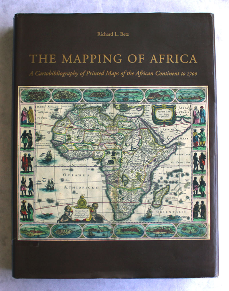
The Mapping of Africa - A Cartobibliography of Printed Maps of the African Continent to 1700 by Richard L. Betz (2007)
Moving away from references on the western world, we would like to spotlight an essential reference for collectors of maps of Africa. While Oscar I. Norwich's classic reference is no slouch -- and actually includes more maps -- we love Betz's work on the earliest maps of Africa. His historical overview on the mapping of Africa is hard to beat, with information about indigenous mapmaking, Arab and Chinese cartography of the continent, the early explorations of the Portuguese, and the first Ptolemaic maps to cover the area. The book lists 174 maps of Africa, each one illustrated and accompanied by an in-depth description with comprehensive coverage of different states and variants. Appendices on lost maps and important firsts on maps of Africa are nice added bonuses.
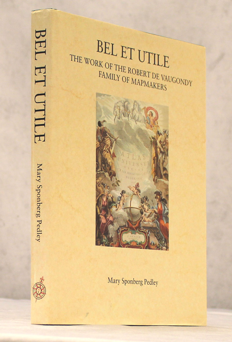
Bel et Utile - The Work of the Robert de Vaugondy Family of Mapmakers by Mary Sponberg Pedley (1992)
We wanted to highlight at least one reference that focuses on a single cartographer (or family of cartographers), and we could think of no better example than Pedley's excellent work on the Robert de Vaugondy family. It tells the story of the Robert de Vaugondy family's contribution to French cartography during a critical juncture when "positive" geography, or geography based on the most up-to-date and accurate information from astronomers and travelers, became the norm. Additionally, it includes the first comprehensive catalogue of the family's works, identifying publications and answering the immortal question: "Didier or Gilles?" With its copious illustrations and helpful cartobibliography, it is both beautiful and utilitarian indeed.
Bonus Picks: Web Resources
In addition to our physical reference library, we have come to rely on a number of web resources in our research. After all, we do live in the digital age! Here is a brief rundown of some of our favorite bookmarks, all of them invaluable (and totally free!) resources for the map collector.
http://www.davidrumsey.com/ Rumsey's collection of nearly 80,000 cartographic items is housed by Stanford University. His website documenting the collection is the gold standard of web references.
https://archive.org/details/listofgeographic01libr The above-mentioned Phillips's List of Geographical Atlases can be a bit unwieldy. Fortunately, it has been digitized a few different places on the web.
https://searchworks.stanford.edu/view/zb871zd0767 Collectors interested in California-as-an-island will have a field day with Glen McLaughlin's collection of more than 700 items, also housed by the good people at Stanford University.
https://persuasivemaps.library.cornell.edu/ We wrote about Cornell University's excellent web catalogue of P.J. Mode's persuasive cartography collection before, but it is such a great resource that we wanted to highlight it again.