Catalog Archive
Auction 99, Lot 630

"Navigational Notes on the Labrador Coast…Northernmost Labrador Mapped from the Air",

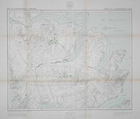
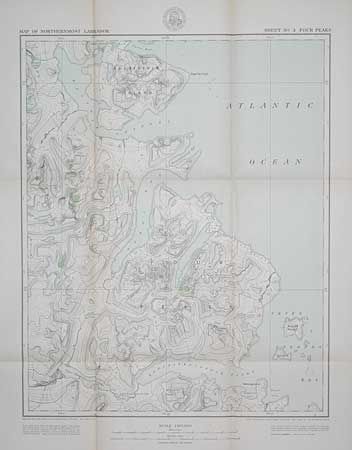
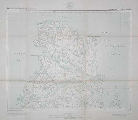
Subject: Surveys - Canada

Period: 1938 (published)

Publication: American Geographical Society

Color:

Size:
7.5 x 10 inches
19.1 x 25.4 cm
Download High Resolution Image
(or just click on image to launch the Zoom viewer)

This volume was to accompany Special Publication No. 22. Written by Alexander Forbes, 25pp with 16 sketch maps in text, plus 6 large folding maps all in hard slipcase. Maps 1-5 are very detailed; sheet 6 is an index sheet of the area that shows details of the hundreds of control points used in this remarkable aerial survey. Maps measure approximately 19" x 25" with wide margins. A remarkable accomplishment.

References:

Condition: A

Slipcase dirty, contents excellent. Maps are generally very good with limited fold toning and a few fold intersection splits.

Estimate: $35 - $50

Sold for: $25

Closed on 6/12/2002

Archived