Catalog Archive
Auction 99, Lot 434

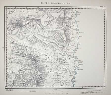
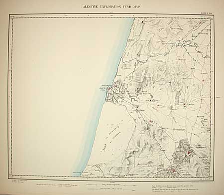
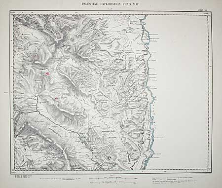
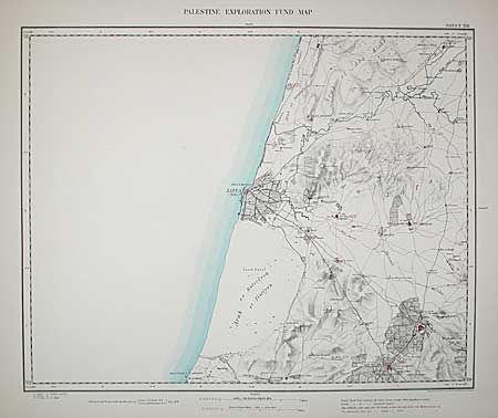
"Map of Western Palestins in 26 sheets from surveys conducted for the Committee of the Palestine Exploration Fund by Lieuts. C.R. Conder and H.H. Kitchener, R.E. during the years 1872-1877", Stanford, Edward

Subject: Holy Land

Period: 1880 (published)

Publication: The Palestine Exploration Fund

Color: Hand Color

Size:
23.3 x 27.5 inches
59.2 x 69.9 cm
Download High Resolution Image
(or just click on image to launch the Zoom viewer)

This scarce set of 26 maps contains the first detailed survey of the area that used to be known as Western Palestine. The surveyed area (6000 square miles) includes modern day Israel, the southernmost part of Lebanon and Jordan as far as the River Jordan. The authors of the Survey were Lieutenants Claude Reignier Conder and Horatio Herbert Kitchener, both officers in the Royal Engineers. The whole region west of the Jordan from Tyre in the north to Beersheba in the south is presented in incredible detail (on a scale of one inch per mile) - every town, village, saint's tomb, wadi, inn, minaret, church, well, sacred tree, and even heap of stones is meticulously recorded. Loose in original boards with title in gilt. Boards are dirty and spine is absent, title page browned and has library stamp.

References:

Condition: C

Maps are generally very clean with some chipping to first few maps - more so on map VII with loss into border. This fine set of scarce maps is deserving of some professional TLC.

Estimate: $650 - $750

Sold for: $425

Closed on 6/12/2002

Archived