Catalog Archive
Auction 98, Lot 410
"Insulae & Ars Mosambique", Bertius, Petrus
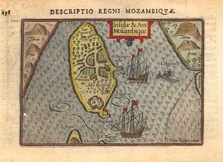
Subject: Africa - Southern
Period: 1610 (circa)
Publication:
Color: Hand Color
Size:
4.9 x 3.3 inches
12.4 x 8.4 cm
Download High Resolution Image
(or just click on image to launch the Zoom viewer)
(or just click on image to launch the Zoom viewer)