Catalog Archive
Auction 98, Lot 166

"Iowa", Mitchell, Samuel Augustus
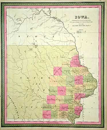
Subject: Iowa

Period: 1847 (dated)

Publication: New Universal Atlas

Color: Hand Color

Size:
13.3 x 16 inches
33.8 x 40.6 cm
Download High Resolution Image
(or just click on image to launch the Zoom viewer)

Very early issue of this map showing only 31 counties in the year following statehood. Twelve of the counties are so new they don't yet have towns named, with only a C.H. to indicate a Court House. The entire western and northern portion of the state is Indian lands owned by Sauks, Foxes, Iowas, Pottawattamies, and Sioux. A very historical map in the development of Iowa.

References:

Condition: B

Binding holes in left margin, close to but not affecting image.

Estimate: $200 - $300

Sold for: $190

Closed on 3/6/2002

Archived