Catalog Archive
Auction 96, Lot 206
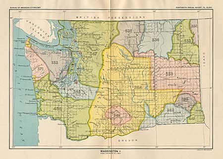
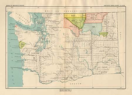
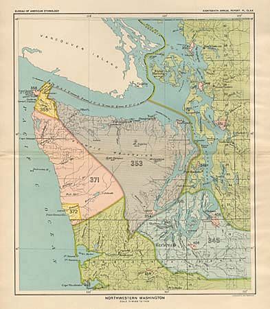
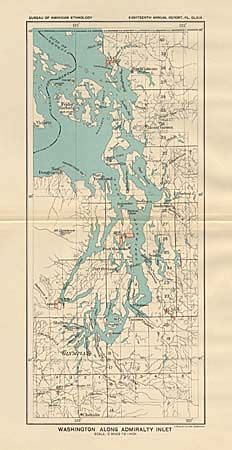
"[Lot of 4 maps]", U.S. Bureau of Ethnology
1 of 4
Subject: Washington
Period: 1899 (published)
Publication: 18th Annual Report
Color: Printed Color
Size:
See Description
Download High Resolution Image
(or just click on image to launch the Zoom viewer)
(or just click on image to launch the Zoom viewer)