Catalog Archive
Auction 95, Lot 70
"Neueste Karte von America nach den Bessten Quellen Entworf. u. Gezeich", Radefeld, Carl Christian Franz
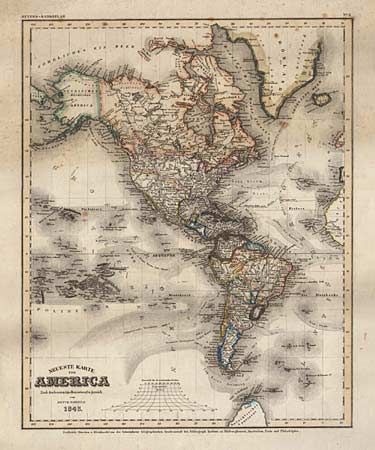
Subject: Western Hemisphere
Period: 1843 (dated)
Publication: Meyer's-Handatlas
Color: Hand Color
Size:
11.7 x 14.6 inches
29.7 x 37.1 cm
Download High Resolution Image
(or just click on image to launch the Zoom viewer)
(or just click on image to launch the Zoom viewer)