Catalog Archive
Auction 95, Lot 299
"No. II Map of Modern Palestine Showing Ruins, Churches & Convents", Hardesty
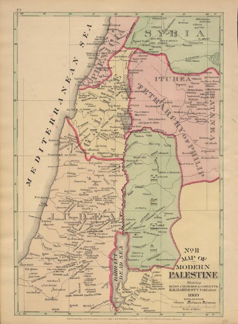
Subject: Holy Land
Period: 1883 (dated)
Publication:
Color: Hand Color
Size:
9.3 x 13.5 inches
23.6 x 34.3 cm
Download High Resolution Image
(or just click on image to launch the Zoom viewer)
(or just click on image to launch the Zoom viewer)