Catalog Archive
Auction 95, Lot 28

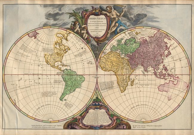
"Orbis Vetus in utraque Continente juxta Mentem Sansonianam Distinctus, nec non Observationibus Astronomicis Redactus…", Robert de Vaugondy

Subject: World

Period: 1752 (dated)

Publication:

Color: Hand Color

Size:
28.2 x 18.5 inches
71.6 x 47 cm
Download High Resolution Image
(or just click on image to launch the Zoom viewer)

Impressive large double hemisphere world map beautifully engraved in the robust style characteristic of Robert de Vaugondy. The map presents a historical perspective by depicting 18th Century cartography but only those place names that were known to the ancients. The Western Hemisphere is labeled 'Atlantis Insula' and the northwest coast of North America is completely blank. In the Eastern Hemisphere, the explored bits of the Australia coastlines are shown and connected into a conjectured shape by dotted lines. The map is decorated with two large cartouches tucked between the spheres. The top cartouche features Father Time and two adorable putti.

References: Pedley #13.

Condition: A

Small tear in bottom margin repaired with archival tape. Couple of faint spots in map, still very good.

Estimate: $1,200 - $1,400

Sold for: $850

Closed on 6/13/2001

Archived