Catalog Archive
Auction 95, Lot 238

"Smith's New and Accurate Map of the Lakes, in the Counties of Cumberland, Westmoreland and Lancaster", Smith, Charles
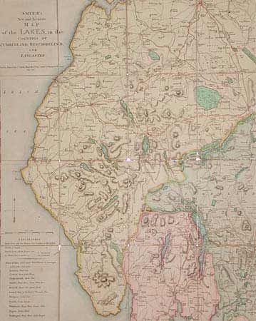
Subject: England

Period: 1802 (dated)

Publication:

Color: Hand Color

Size:
19 x 23.5 inches
48.3 x 59.7 cm
Download High Resolution Image
(or just click on image to launch the Zoom viewer)

Dissected and linen backed folding map, extending from St. Bees Heads to Bampton, and from Carlisle to Ulverston. A charming map of the area of England dear to the hearts of the Romantics, who were in their heyday at this period. At the bottom left is a list of "Inns which supply Post Horses & Carriages". The original pastel colors are tastefully applied.

References:

Condition: A

The original pastel colors are tastefully applied. Backing worn at fold junctions with a couple of short splits not affecting paper, else fine.

Estimate: $150 - $200

Sold for: $100

Closed on 6/13/2001

Archived