Catalog Archive
Auction 95, Lot 157
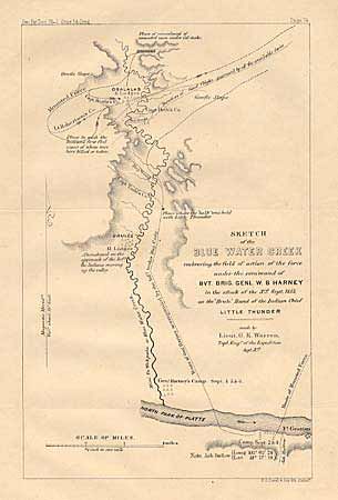
"Sketch of the Blue Water Creek embracing the field of action of the force under the command of Bvt. Brig. Genl. W.S. Harney in the attack of the 3rd Sept. 1855, on the Brule Band of the Indian Chief Little Thunder", Warren, Lieut. G. K.
Subject: Nebraska
Period: 1856 (published)
Publication: Sen. Ex Doc. 76, 1st Sess., 34th Cong.
Color: Black & White
Size:
9 x 6 inches
22.9 x 15.2 cm
Download High Resolution Image
(or just click on image to launch the Zoom viewer)
(or just click on image to launch the Zoom viewer)