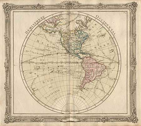
Fascinating 18th century map of the Americas. The map was issued during a time of controversy and confusion as to the true nature of the Pacific coast of North America. Desnos has here devised an interesting method to depict the conflicting theories. Philip Buache's concepts, including the mythical "Mer de l'Ouest" and "B. de l'Ouest' with its Northwest Passage, are engraved in faint hatchures and colored in yellow. While the ideas of Gerhard Freidrich Muller, which includes the fabled River of the West connecting through a network of lakes into both Lake Superior and Hudson Bay, are shown by dotted line and colored green. The oceans are filled with the tracks of the major explorations. This is a handsome map with the hemisphere surrounded in a rococo style engraved border.