Catalog Archive
Auction 94, Lot 249
"Wyld's Bicycle Map of England, Wales and Scotland; Compiled from the Ordnance Survey Describing the Railways, Direct and principle cross Roads…", Wyld
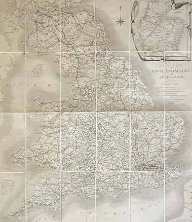
Subject: England & Wales
Period: 1890 (circa)
Publication:
Color: Black & White
Size:
28.5 x 24.5 inches
72.4 x 62.2 cm
Download High Resolution Image
(or just click on image to launch the Zoom viewer)
(or just click on image to launch the Zoom viewer)