Catalog Archive


Auction 94, Lot 210
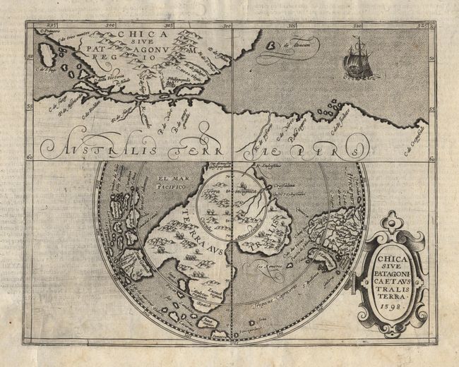
"Chica Sive Patagonica et Australis Terra", Metellus, Natalius Sequanus

Subject: Southern South America
Period: 1598 (dated)
Publication:
Color: Black & White
Size:
11.2 x 8.7 inches
28.4 x 22.1 cm
Download High Resolution Image
(or just click on image to launch the Zoom viewer)
(or just click on image to launch the Zoom viewer)