Catalog Archive
Auction 94, Lot 129
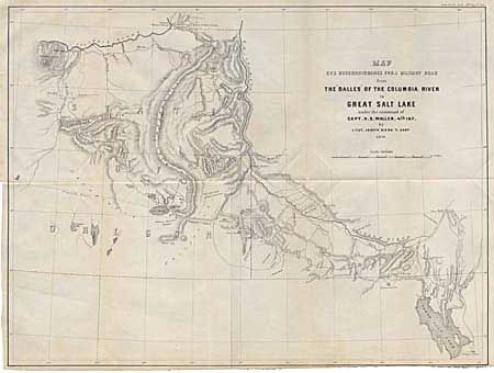
"Map of a Reconnaissance for a Military Road from the Dalles of the Columbia River to Great Salt Lake under the command of Capt. H.D. Wallen. 4th Inf. By Lieut. Joseph Dixon, T. Engrs", U.S. War Department
Subject: Western United States
Period: 1859 (dated)
Publication: Sen. Doc #34, 36th Congress, 1st Ses.
Color: Black & White
Size:
21.7 x 16.4 inches
55.1 x 41.7 cm
Download High Resolution Image
(or just click on image to launch the Zoom viewer)
(or just click on image to launch the Zoom viewer)