Catalog Archive
Auction 92, Lot 460
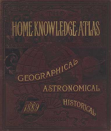
"The Home Knowledge Atlas - Geographical, Astronomical, Historical…", Cram, George F. & Company
Subject: Atlas
Period: 1889 (dated)
Publication: Home Knowledge Assoc. (publisher)
Color: Printed Color
Size:
12 x 13.5 inches
30.5 x 34.3 cm
Download High Resolution Image
(or just click on image to launch the Zoom viewer)
(or just click on image to launch the Zoom viewer)